High Bridge Park, Spokane
Map
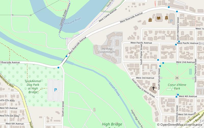
Map

Facts and practical information
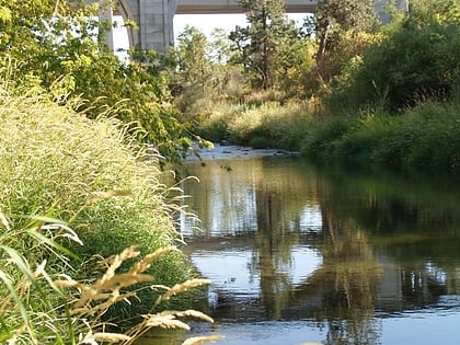
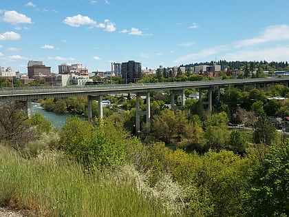
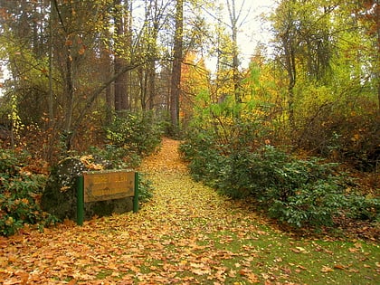
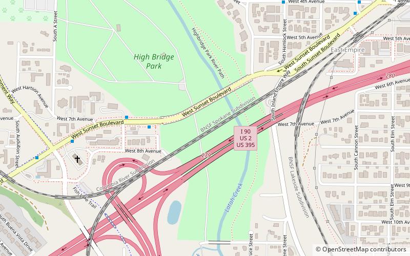
High Bridge Park is a 200 acres public park located at Riverside Ave. and A St. in Latah Valley, Spokane, Washington. It is open daily, without charge. ()
Elevation: 1824 ft a.s.l.Coordinates: 47°39'16"N, 117°27'4"W
Address
2301 W Ohio AveSouth Side (Browne's Addition)Spokane
ContactAdd
Social media
Add
Day trips
High Bridge Park – popular in the area (distance from the attraction)
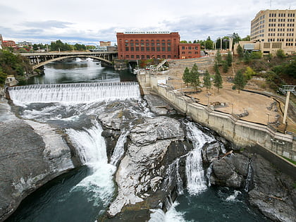
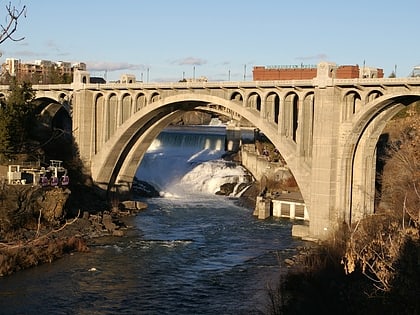
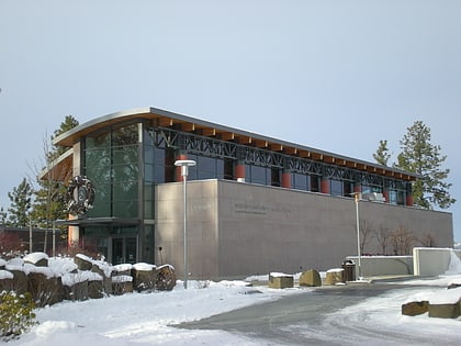
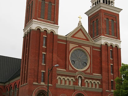
Nearby attractions include: Spokane Falls, Monroe Street Bridge, Maple Street Bridge, Northwest Museum of Arts and Culture.
Frequently Asked Questions (FAQ)
Which popular attractions are close to High Bridge Park?
Nearby attractions include Northwest Museum of Arts and Culture, Spokane (8 min walk), Washington Grain Commission, Spokane (9 min walk), High Bridge, Spokane (11 min walk), Spokane Public Library, Spokane (14 min walk).
How to get to High Bridge Park by public transport?
The nearest stations to High Bridge Park:
Bus
Bus
- Riverside @ Clarke • Lines: 20 (4 min walk)
- Spruce @ 2nd • Lines: Cl (6 min walk)
