Newark Airport Interchange, Newark
Map
Facts and practical information
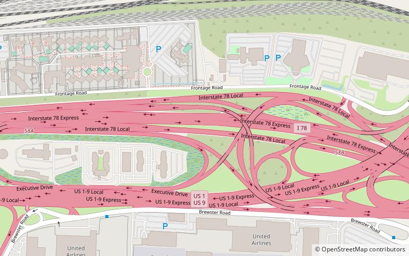
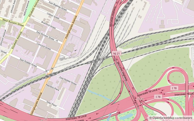
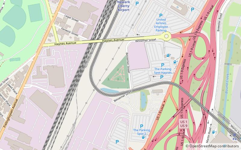
The Newark Airport Interchange is a massive interchange of Interstate 78, U.S. Route 1-9, U.S. Route 22, New Jersey Route 21, and Interstate 95 at the northern edge of Newark Liberty International Airport in Newark, New Jersey. ()
Coordinates: 40°42'38"N, 74°10'6"W
Address
Newark Airport and Port NewarkNewark
ContactAdd
Social media
Add
Getting there by public transportation
Public transportation stops near this location
- Bus
- Train
 Bus
Bus
- Calculate routeTerminal C 29 min walk
- Calculate routeP4 31 min walk
- Calculate routeNewark Liberty Airport 32 min walk
- Calculate routeTerminal C 31 min walk
Day trips


Frequently Asked Questions (FAQ)
How to get to Newark Airport Interchange by public transport?
The nearest stations to Newark Airport Interchange:
Train
Bus
Train
- Terminal C (29 min walk)
- P4 (31 min walk)
Bus
- Terminal C • Lines: 62 (31 min walk)