Trek Zone

Interstate 635 Bridge, Kansas City

#208 among attractions in Kansas City

Bridge
Interstate 635 Bridge location map
Map

Facts and practical information
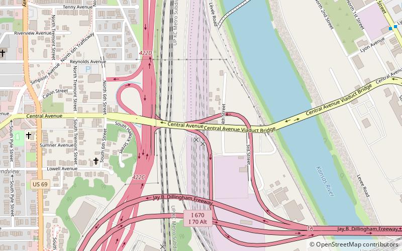
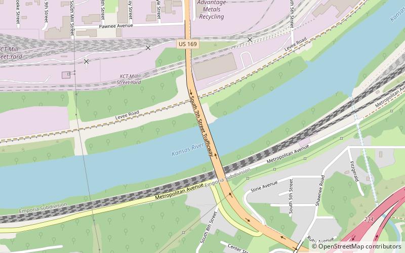
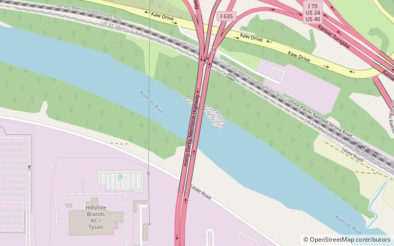
Opened: 1976 (48 years ago)Coordinates: 39°5'58"N, 94°40'48"W
Address

West Kansas City (Santa Fe Industrial)Kansas City United States

ContactAdd
Social media
Add
Day trips

Interstate 635 Bridge – popular in the area (distance from the attraction)

Nearby attractions include: Strawberry Hill Museum and Cultural Center, Sauer Castle, Cathedral of Saint Peter, Huron Cemetery.

  • strawberry hill museum and cultural center kansas city3.4 miE
  • sauer castle kansas city3.3 miSE
  • cathedral of saint peter kansas city2 miE
  • huron cemetery kansas city3.1 miE
  • central avenue bridge kansas city location map
    3.3 miE
  • kansas avenue bridge kansas city location map
    1.5 miSE
  • public library main library kansas city location map
    3.1 miE
  • memorial hall kansas city2.9 miE
  • 7th street trafficway bridge kansas city location map
    3.4 miSE
  • 12th street bridge kansas city location map
    2.8 miSE
  • 18th street expressway bridge kansas city location map
    2.3 miSE

Where to next? Visit kansas Kansas region page or discover the top tourist attractions in United States.