Palm Island, Miami Beach
Map

Map

Facts and practical information
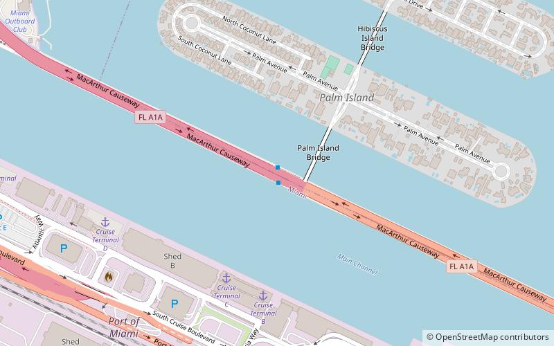
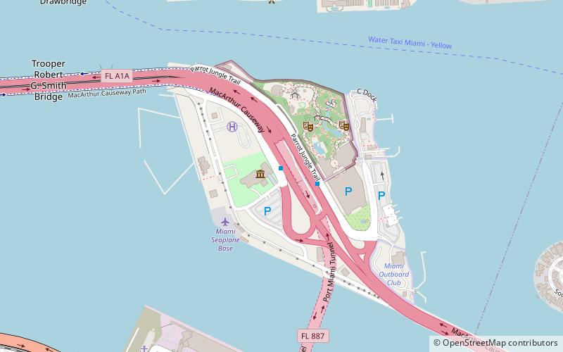
Palm Island is a neighborhood in the city of Miami Beach on a man-made island in Biscayne Bay, Florida, United States; just south of Hibiscus Island. It is a residential neighborhood with high property values, solely accessible by land via the MacArthur Causeway. The entire island has an area of 82 acres. ()
Area: 82.56 acres (0.129 mi²)Coordinates: 25°46'48"N, 80°9'44"W
Address
South Beach (Palm Island)Miami Beach
ContactAdd
Social media
Add
Day trips
Palm Island – popular in the area (distance from the attraction)
Nearby attractions include: Jungle Island, U.S. Coast Guard Station Miami Beach, Miami Children's Museum, Miami Yacht Club.
Frequently Asked Questions (FAQ)
Which popular attractions are close to Palm Island?
Nearby attractions include MacArthur Causeway, Miami (6 min walk), Hibiscus Island, Miami Beach (7 min walk), Dodge Island, Miami (16 min walk), PortMiami, Miami (18 min walk).
How to get to Palm Island by public transport?
The nearest stations to Palm Island:
Bus
Bus
- MacArthur Causeway & Fountain Street • Lines: 113, 119 (6 min walk)
- Venetian Way & East San Marino Drive • Lines: 101 (19 min walk)


