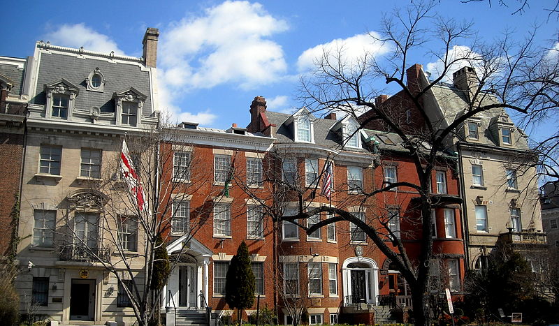
Kalorama, Washington D.C.

Gallery (4)
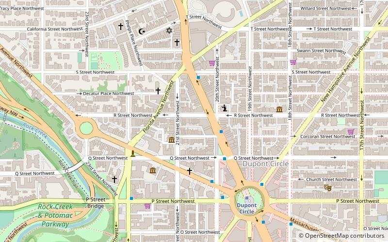
Map

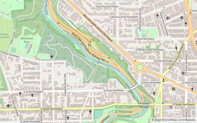
Map
Gallery
Facts and practical information
Kalorama is a neighborhood in Northwest Washington, D.C., United States. It includes the Kalorama Triangle Historic District and Sheridan-Kalorama Historic District. It is named after the Kalorama mansion. ()
Address
Northwest Washington (Kalorama)Washington D.C.
ContactAdd
Social media
Add
Getting there by public transportation
Public transportation stops near this location
- Metro
- Bus
 Metro
Metro
- Calculate routeWoodley Park 15 min walk
- Calculate routeDupont Circle 18 min walk
- Calculate routeBus Loading 27 min walk
- Calculate routeMTA Bus Stop 29 min walk
Day trips


Frequently Asked Questions (FAQ)
Which popular attractions are close to Kalorama?
Nearby attractions include The Lindens, Washington D.C. (3 min walk), Anthony Holmead Archeological Site, Washington D.C. (4 min walk), Rock Creek and Potomac Parkway, Washington D.C. (5 min walk), Textile Museum, Washington D.C. (6 min walk).
How to get to Kalorama by public transport?
The nearest stations to Kalorama:
Metro
Bus
Metro
- Woodley Park • Lines: Rd (15 min walk)
- Dupont Circle • Lines: Rd (18 min walk)
Bus
- Bus Loading (27 min walk)
- MTA Bus Stop • Lines: 305, 315 (29 min walk)