Mayo Bridge, Richmond
Map

Map

Facts and practical information
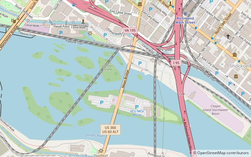
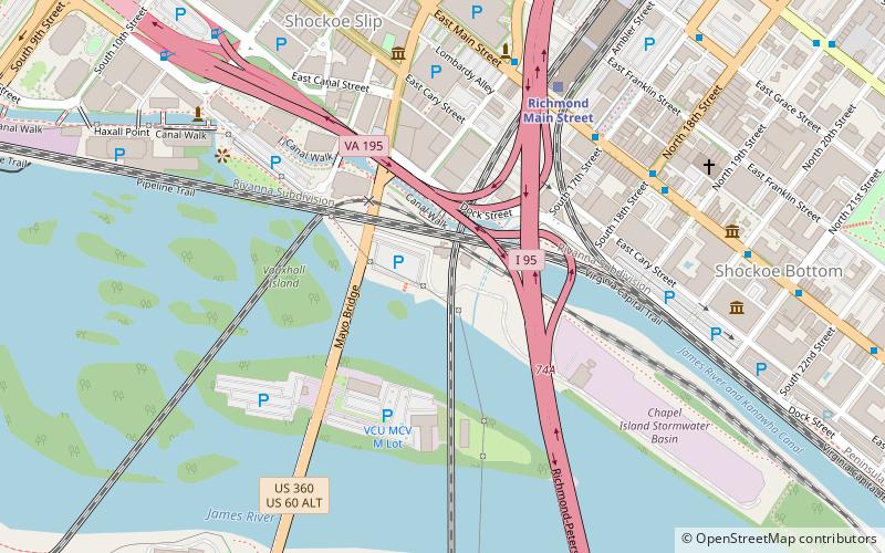
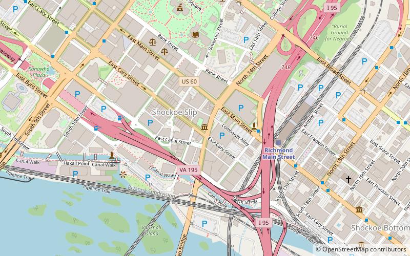
Mayo's Bridge is located in Richmond, Virginia. A four lane structure, it transports U.S. Route 360 across the James River. Signage identifies the bridge as "Mayo's Bridge". ()
Opened: 1913 (113 years ago)Coordinates: 37°31'51"N, 77°26'1"W
Day trips
Mayo Bridge – popular in the area (distance from the attraction)
Nearby attractions include: Richmond Coliseum, Virginia Holocaust Museum, Edgar Allan Poe Museum, The National.
Frequently Asked Questions (FAQ)
Which popular attractions are close to Mayo Bridge?
Nearby attractions include CSX Bellwood Subdivision James River Bridge, Richmond (3 min walk), Norfolk Southern James River Bridge, Richmond (3 min walk), Triple Crossing, Richmond (4 min walk), Peninsula Subdivision Trestle, Richmond (4 min walk).
How to get to Mayo Bridge by public transport?
The nearest stations to Mayo Bridge:
Train
Bus
Train
- Richmond Main Street (9 min walk)
Bus
- A • Lines: 1A, 1C (20 min walk)
- B • Lines: 1A, 1C (20 min walk)


