Bracken Woods, Cincinnati

Map
Facts and practical information
Bracken Woods, owned and operated by the Cincinnati Park Board, is a city park in the neighborhood of Westwood in Cincinnati, Ohio established in 1975. Located on 30.23 acres of land, the park is also home to the Robert J. Brodbeck Nature Preserve. ()
Elevation: 758 ft a.s.l.Coordinates: 39°10'11"N, 84°34'20"W
Address
Mount AiryCincinnati
ContactAdd
Social media
Add
Day trips
Bracken Woods – popular in the area (distance from the attraction)
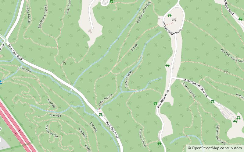
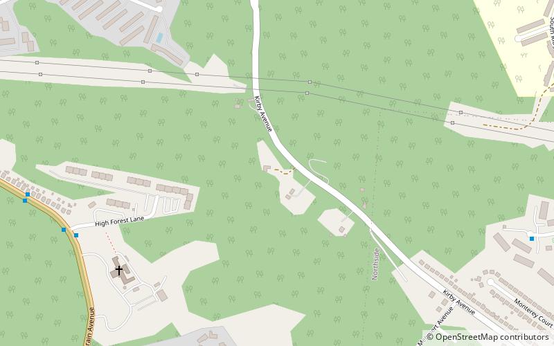
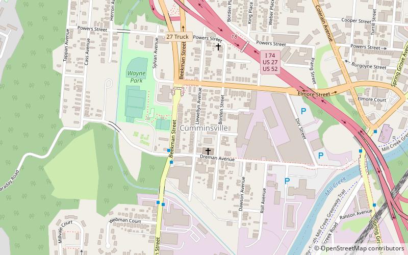
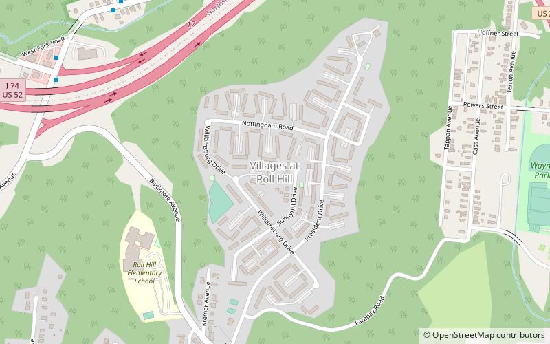
Nearby attractions include: Mount Airy Forest, Mount Airy Arboretum, Bradford-Felter Tanglewood, South Cumminsville.
Frequently Asked Questions (FAQ)
Which popular attractions are close to Bracken Woods?
Nearby attractions include Mount Airy Forest, Cincinnati (7 min walk), Mount Airy Arboretum, Cincinnati (22 min walk).
How to get to Bracken Woods by public transport?
The nearest stations to Bracken Woods:
Bus
Bus
- Colerain Ave 4784 • Lines: 19 (16 min walk)


