Mount Airy Forest, Cincinnati
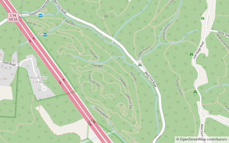
Map
Gallery

Facts and practical information
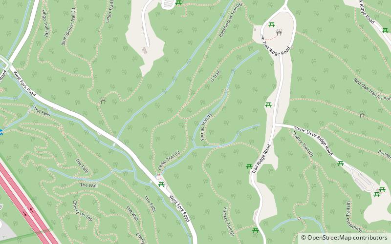
The Mount Airy Forest, in Cincinnati, Ohio, was established in 1911. It was one of the earliest, if not the first, urban reforestation project in the United States. With nearly 1,500 acres, it's the largest park in Cincinnati's park system. ()
Built: 1911 (115 years ago)Elevation: 722 ft a.s.l.Coordinates: 39°10'2"N, 84°34'32"W
Address
Mount AiryCincinnati
ContactAdd
Social media
Add
Day trips
Mount Airy Forest – popular in the area (distance from the attraction)
Nearby attractions include: Mount Airy Arboretum, Bracken Woods, Bradford-Felter Tanglewood, Villages at Roll Hill.
Frequently Asked Questions (FAQ)
How to get to Mount Airy Forest by public transport?
The nearest stations to Mount Airy Forest:
Bus
Bus
- Montana Ave & Farrell Dr • Lines: 51 (18 min walk)
- West Fork Rd & Todd Ave • Lines: 51 (19 min walk)


