Bradford-Felter Tanglewood, Cincinnati

Facts and practical information
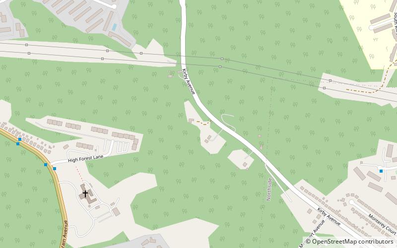
Bradford-Felter Tanglewood, owned and operated by the Cincinnati Park Board, is a 176-acre city park in the neighborhood of Mount Airy in Cincinnati, Ohio. The park area was donated to the city in 1938 by Dr. Lloyd F. Felter, at the time consisting of just over 38 acres and called Felter Tanglewood. The park board obtained an additional 83 acres in 1978, half of which they purchased and the other half donated by Dr. Ray Tully Bradford and his wife. In the years since other land donations and purchases were made, resulting in the current land area. ()
Mount AiryCincinnati
Bradford-Felter Tanglewood – popular in the area (distance from the attraction)
Nearby attractions include: Northside, Mount Airy Forest, Parkers Woods and Buttercup Valley Nature Preserve, Northside United Methodist Church.
Frequently Asked Questions (FAQ)
How to get to Bradford-Felter Tanglewood by public transport?
Bus
- Colerain Ave & Highforest Ln • Lines: 19 (10 min walk)
- Casey Dr Layover • Lines: 27 (12 min walk)


