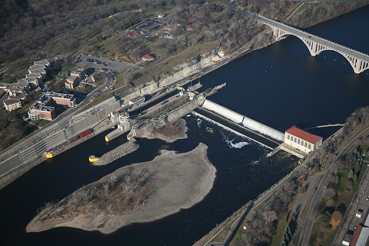
Lock and Dam No. 1, Minneapolis

Gallery (4)
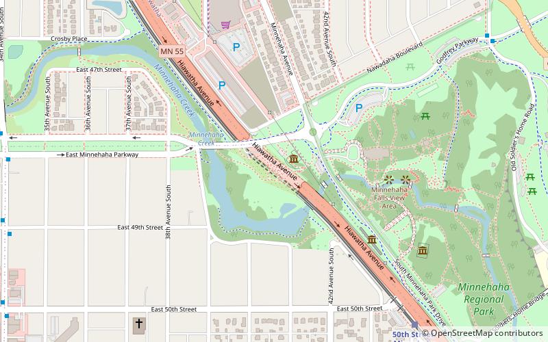
Map

Map
Gallery
Facts and practical information
Ford Dam, officially known as Lock and Dam No. 1, is on the Upper Mississippi River and is located between Minneapolis and Saint Paul, Minnesota just north of the confluence of the Mississippi with the Minnesota River at Mississippi River mile 847.9, in Minneapolis. The powerhouse portion was previously owned by the Ford Motor Company, which operated a hydroelectric power station to feed electricity to its Twin Cities Assembly Plant on the east side of the river. It was sold to Brookfield Power Co. in April 2008. The dual-lock facility and dam was built and is operated by the St. Paul district of the U.S. Army Corps of Engineers' Mississippi Valley Division. ()
Opened: 1932 (94 years ago)Length: 574 ftCoordinates: 44°54'55"N, 93°12'2"W
Address
HighlandMinneapolis
ContactAdd
Social media
Add
Getting there by public transportation
Public transportation stops near this location
- Bus
- Light rail
 Bus
Bus
- Calculate routeFord Parkway & Woodlawn Avenue 7 min walk
- Calculate route46th Street & 46th Avenue 13 min walk
- Calculate routeCleveland Avenue & Hillcrest Avenue 17 min walk
- Calculate route50th Street/Minnehaha Park 13 min walk
- Calculate routeVA Medical Center 22 min walk
- Calculate route46th Street 26 min walk
Day trips


Frequently Asked Questions (FAQ)
Which popular attractions are close to Lock and Dam No. 1?
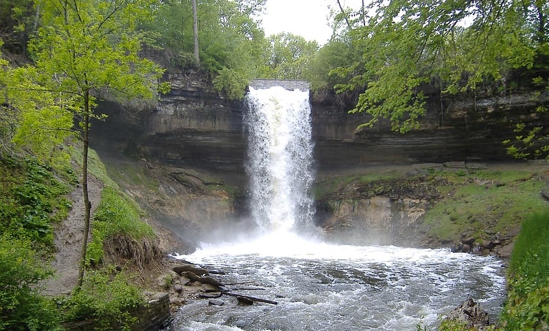
Nearby attractions include Intercity Bridge, Minneapolis (5 min walk), Minnehaha Park, Minneapolis (8 min walk), Longfellow House, Minneapolis (17 min walk), Longfellow Gardens, Minneapolis (18 min walk).
How to get to Lock and Dam No. 1 by public transport?
The nearest stations to Lock and Dam No. 1:
Bus
Light rail
Bus
- Ford Parkway & Woodlawn Avenue • Lines: A (7 min walk)
- 46th Street & 46th Avenue • Lines: A (13 min walk)
Light rail
- 50th Street/Minnehaha Park • Lines: 901 (13 min walk)
- VA Medical Center • Lines: 901 (22 min walk)