Intercity Bridge, Minneapolis


Facts and practical information
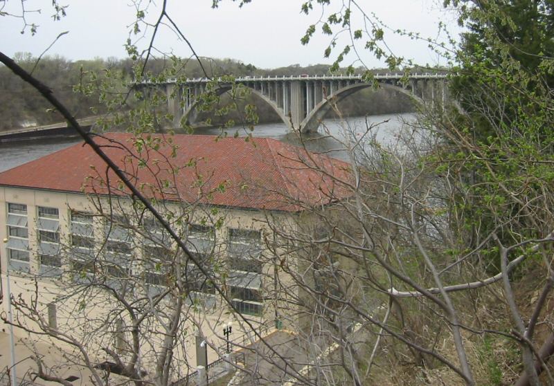
The Intercity Bridge, more commonly known as the Ford Parkway Bridge, is a reinforced concrete arch bridge that spans the Mississippi River between Minneapolis, Minnesota and St. Paul, Minnesota, United States. It connects 46th Street in Minneapolis with Ford Parkway in Saint Paul. The bridge is historically significant as one of the largest reinforced concrete bridges ever built in Minnesota. It was built in 1925-1927 by James O. Heyworth, Inc. and was designed by Martin Sigvart Grytbak. The Intercity Bridge was listed on the National Register of Historic Places in 1989. It is notable as one of the monumental concrete rib-arch bridges spanning the high river bluffs along the Mississippi River, along with the Franklin Avenue Bridge, the Third Avenue Bridge, the 10th Avenue Bridge, and the Robert Street Bridge. ()
HighlandMinneapolis
- Bus
- Light rail
 Bus
Bus
- Calculate routeFord Parkway & Woodlawn Avenue 5 min walk
- Calculate route46th Street & 46th Avenue 11 min walk
- Calculate routeCleveland Avenue & Ford Parkway 16 min walk
- Calculate route50th Street/Minnehaha Park 17 min walk
- Calculate route46th Street 26 min walk
- Calculate routeVA Medical Center 27 min walk


Frequently Asked Questions (FAQ)
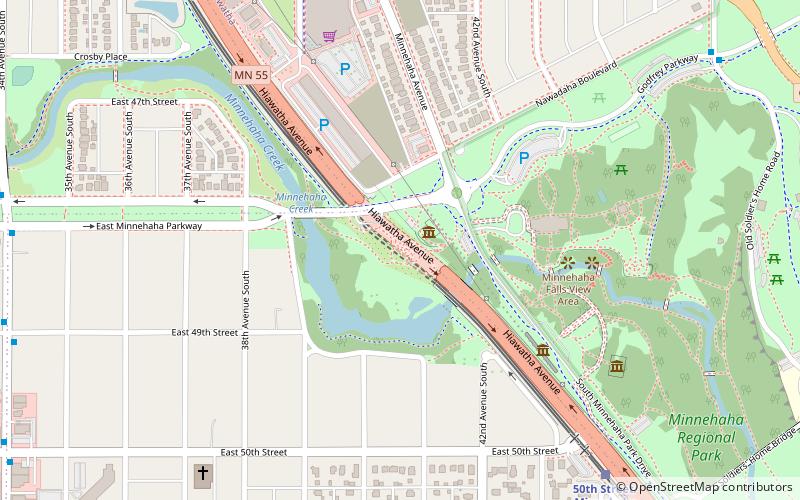
Which popular attractions are close to Intercity Bridge?
How to get to Intercity Bridge by public transport?
Bus
- Ford Parkway & Woodlawn Avenue • Lines: A (5 min walk)
- 46th Street & 46th Avenue • Lines: A (11 min walk)
Light rail
- 50th Street/Minnehaha Park • Lines: 901 (17 min walk)
- 46th Street • Lines: 901 (26 min walk)