Minnehaha Falls Lower Glen Trail, Minneapolis
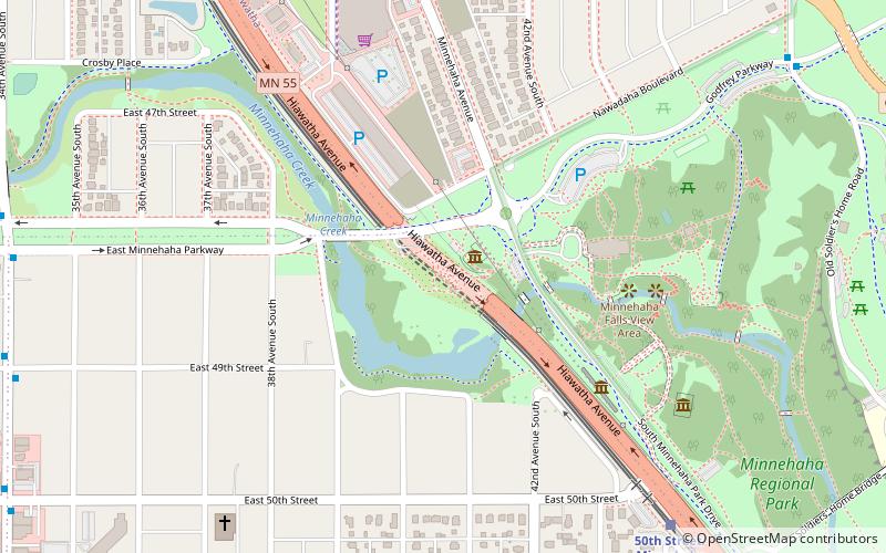
Map
Map

Facts and practical information
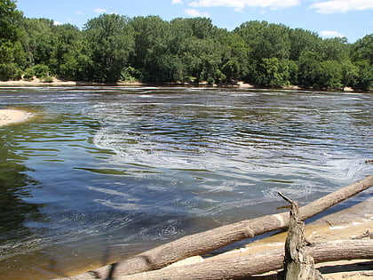
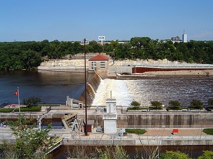
Minnehaha Falls Lower Glen Trail is a popular hiking route in Minneapolis, Minnesota, United States. The 2.1-mile trail loop begins and ends at the base of the iconic Minnehaha Falls. Hikers follow natural trails and elevated boardwalks through a sedimentary rock glen carved by Minnehaha Creek to its confluence with the Mississippi River where there is a sandy beach. Portions of the trail loop are rated moderate to challenging in difficulty. ()
Season: All yearCoordinates: 44°54'53"N, 93°12'28"W
Address
Longfellow (Hiawatha)Minneapolis
ContactAdd
Social media
Add
Day trips
Minnehaha Falls Lower Glen Trail – popular in the area (distance from the attraction)
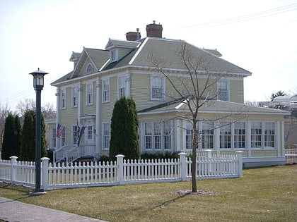
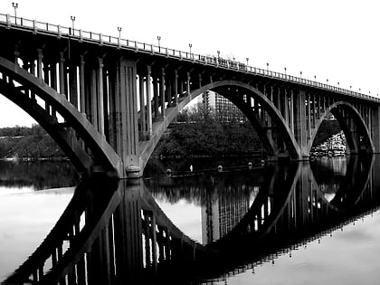
Nearby attractions include: Minnehaha Park, Longfellow Gardens, Longfellow House, Intercity Bridge.
Frequently Asked Questions (FAQ)
Which popular attractions are close to Minnehaha Falls Lower Glen Trail?
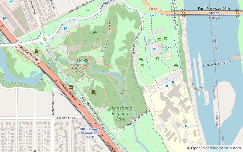
Nearby attractions include Minnehaha Park, Minneapolis (3 min walk), Longfellow House, Minneapolis (8 min walk), Longfellow Gardens, Minneapolis (9 min walk), Lock and Dam No. 1, Minneapolis (10 min walk).
How to get to Minnehaha Falls Lower Glen Trail by public transport?
The nearest stations to Minnehaha Falls Lower Glen Trail:
Light rail
Bus
Light rail
- 50th Street/Minnehaha Park • Lines: 901 (6 min walk)
- 46th Street • Lines: 901 (19 min walk)
Bus
- 46th Street & 46th Avenue • Lines: A (9 min walk)
- Ford Parkway & Woodlawn Avenue • Lines: A (16 min walk)
