Potrero Hill, San Francisco

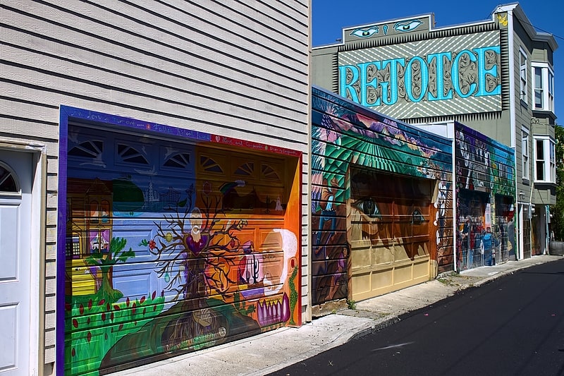
Gallery (3)
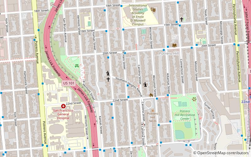
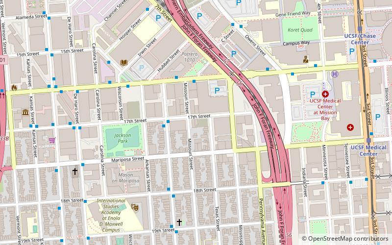
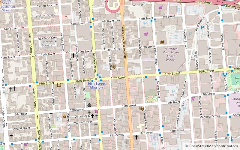
Map
Map
Gallery
Facts and practical information
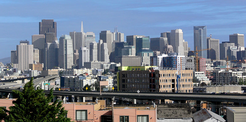
Potrero Hill is a residential neighborhood in San Francisco, California. It is known for its views of the San Francisco Bay and city skyline, its proximity to many destination spots, its sunny weather, and having two freeways and a Caltrain station. ()
Area: 1.52 mi²Coordinates: 37°45'30"N, 122°24'4"W
Address
Southeast San Francisco (Potrero Hill)San Francisco
ContactAdd
Social media
Add
Getting there by public transportation
Public transportation stops near this location
- Metro
- Bus
- Trolleybus
- Tram
- Light rail
- Train
 Metro
Metro
- Calculate routeDe Haro Street & Southern Heights Avenue 1 min walk
- Calculate routeRhode Island Street & Southern Heights Avenue 2 min walk
- Calculate routePotrero Avenue & 21st Street 9 min walk
- Calculate routeSan Francisco General Hospital 10 min walk
- Calculate route22nd Street 13 min walk
- Calculate route20th Street 18 min walk
- Calculate route23rd Street 19 min walk
- Calculate routeUCSF Medical Center 20 min walk
- Calculate routeUCSF/Chase Center 24 min walk
- Calculate route24th Street Mission 27 min walk
- Calculate route16th Street Mission 29 min walk
- Calculate routeMarket Street & South Van Ness Avenue 39 min walk
Maps Muni Metro
Muni MetroDay trips


Frequently Asked Questions (FAQ)
Which popular attractions are close to Potrero Hill?
Nearby attractions include Vermont Street, San Francisco (5 min walk), Potrero Hill Recreation Center, San Francisco (7 min walk), San Francisco Center for the Book, San Francisco (13 min walk), Bottom of the Hill, San Francisco (14 min walk).
How to get to Potrero Hill by public transport?
The nearest stations to Potrero Hill:
Bus
Trolleybus
Train
Light rail
Metro
Tram
Bus
- De Haro Street & Southern Heights Avenue • Lines: 19 (1 min walk)
- Rhode Island Street & Southern Heights Avenue • Lines: 19 (2 min walk)
Trolleybus
- Potrero Avenue & 21st Street • Lines: 33 (9 min walk)
- San Francisco General Hospital • Lines: 33 (10 min walk)
Train
- 22nd Street (13 min walk)
Light rail
- 20th Street • Lines: T (18 min walk)
- 23rd Street • Lines: T (19 min walk)
Metro
- 24th Street Mission • Lines: Blue, Green, Red, Yellow (27 min walk)
- 16th Street Mission • Lines: Blue, Green, Red, Yellow (29 min walk)
Tram
- Market Street & South Van Ness Avenue • Lines: F (39 min walk)