SOMArts Cultural Center, San Francisco

Facts and practical information
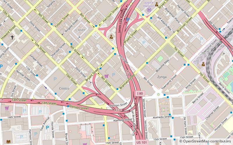
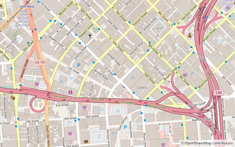
SOMArts Cultural Center (address: 934 Brannan St) is a place located in San Francisco (California state) and belongs to the category of museum, art gallery, performing arts.
It is situated at an altitude of 16 feet, and its geographical coordinates are 37°46'16"N latitude and 122°24'25"W longitude.
Planning a visit to this place, one can easily and conveniently get there by public transportation. SOMArts Cultural Center is a short distance from the following public transport stations: 8th Street & Bryant Street (bus, 3 min walk), 16th Street & Vermont Street (trolleybus, 10 min walk), Market Street & 8th Street (tram, 18 min walk), Civic Center (light rail, 18 min walk), Civic Center (metro, 18 min walk), San Francisco 4th & King Street (train, 20 min walk).
Among other places and attractions worth visiting in the area are: The Stud (dancing, 6 min walk), San Francisco South of Market Leather History Alley (museum, 7 min walk), Prelinger Library (library, 8 min walk).
- Metro
- Bus
- Trolleybus
- Tram
- Light rail
- Train
 Metro
Metro
- Calculate route8th Street & Bryant Street 3 min walk
- Calculate route10th Street & Bryant Street 4 min walk
- Calculate routeHarrison Street & 9th Street 6 min walk
- Calculate routeDivision Street & Townsend Street 6 min walk
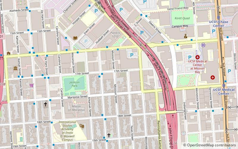
- Calculate route16th Street & Vermont Street 10 min walk
- Calculate route16th Street & Potrero Avenue 10 min walk
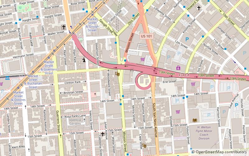
- Calculate routeMarket Street & 8th Street 18 min walk
- Calculate routeCivic Center 18 min walk
- Calculate routeVan Ness 19 min walk
- Calculate routeKing Street & 4th Street 19 min walk
- Calculate route4th Street & King Street 21 min walk
- Calculate routeCivic Center 18 min walk
- Calculate route16th Street Mission 21 min walk
- Calculate routeSan Francisco 4th & King Street 20 min walk
- Calculate route22nd Street 32 min walk
 Muni Metro


Frequently Asked Questions (FAQ)
Which popular attractions are close to SOMArts Cultural Center?
How to get to SOMArts Cultural Center by public transport?
Bus
- 8th Street & Bryant Street • Lines: 19 (3 min walk)
- 10th Street & Bryant Street • Lines: 292, 397 (4 min walk)
Trolleybus
- 16th Street & Vermont Street • Lines: 22 (10 min walk)
- 16th Street & Potrero Avenue • Lines: 22, 33 (10 min walk)
Tram
- Market Street & 8th Street • Lines: F (18 min walk)
Light rail
- Civic Center • Lines: K, N, S, T (18 min walk)
- Van Ness • Lines: K, N, S, T (19 min walk)
Metro
- Civic Center • Lines: Blue, Green, Red, Yellow (18 min walk)
- 16th Street Mission • Lines: Blue, Green, Red, Yellow (21 min walk)
Train
- San Francisco 4th & King Street (20 min walk)
- 22nd Street (32 min walk)