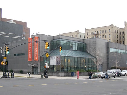
Bathgate Industrial Park, New York City
Map
Facts and practical information
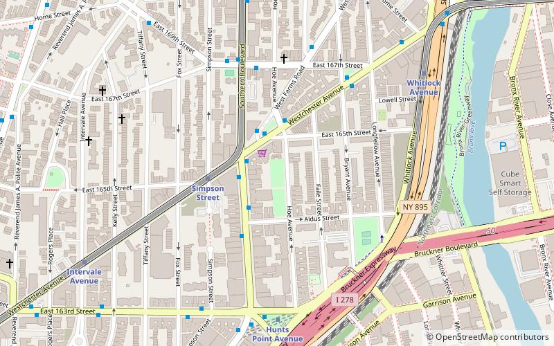
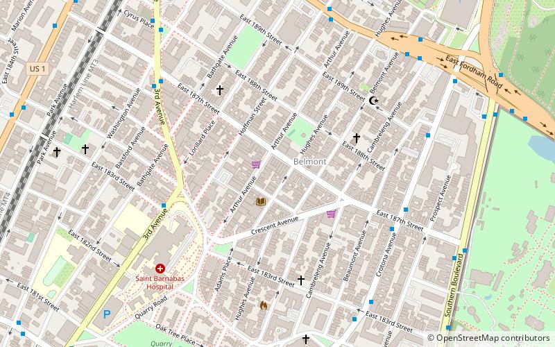
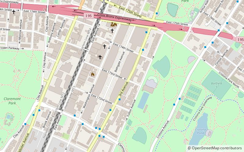
Bathgate Industrial Park is an industrial park located in the Morrisania neighborhood of the Bronx, New York City. It is south of the Cross Bronx Expressway, west of Third and Fulton Avenues, north of Claremont Parkway, and east of Washington Avenue in the district of Bronx Community Board 3. ()
Coordinates: 40°50'28"N, 73°53'59"W
Address
West Bronx (Morrisania)New York City
ContactAdd
Social media
Add
Day trips
Bathgate Industrial Park – popular in the area (distance from the attraction)
Nearby attractions include: Bronx Zoo, Crotona Park, Starlight Park, Printers Park.
Frequently Asked Questions (FAQ)
Which popular attractions are close to Bathgate Industrial Park?
Nearby attractions include Crotona Park East, New York City (8 min walk), Crotona Park, New York City (8 min walk), Crotona Theatre, New York City (11 min walk), Tremont Baptist Church, New York City (13 min walk).
How to get to Bathgate Industrial Park by public transport?
The nearest stations to Bathgate Industrial Park:
Train
Metro
Bus
Train
- Tremont (11 min walk)
- Melrose (35 min walk)
Metro
- 174th–175th Streets • Lines: B, D (17 min walk)
- 174th Street • Lines: 2, 5 (18 min walk)
Bus
- Crotona Avenue & East 187th Street • Lines: Bx17 (31 min walk)
- East 163rd Street & 3rd Avenue • Lines: Bx13, Bx6 (33 min walk)
 Subway
 Manhattan Buses
