Happy Isles, Yosemite National Park
Map
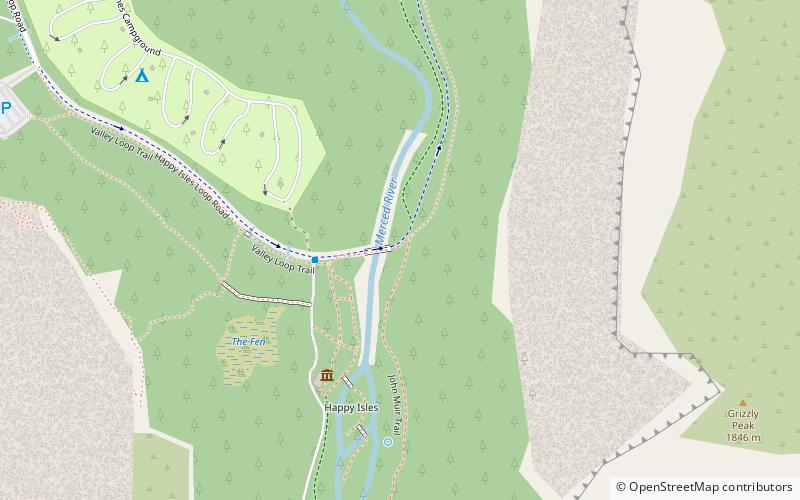
Map

Facts and practical information
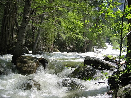
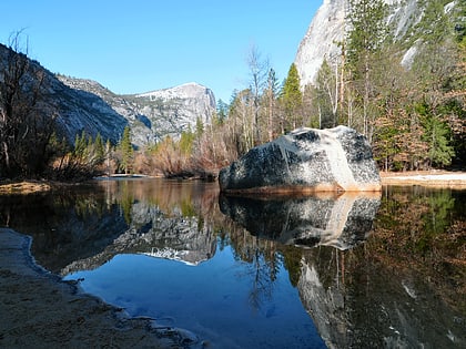
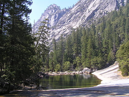
Happy Isles is a group of small isles in the Merced River in Yosemite National Park, California, USA. They are located at the easternmost end of the Yosemite Valley floor. This scenic spot is the starting point for the Mist Trail, and is also the northern trailhead for the John Muir Trail. Happy Isles is also the trailhead for popular hiking destinations along the Mist Trail and Half Dome. ()
Coordinates: 37°43'57"N, 119°33'29"W
Address
Happy Isles Nature CenterYosemite National Park
ContactAdd
Social media
Add
Day trips
Happy Isles – popular in the area (distance from the attraction)
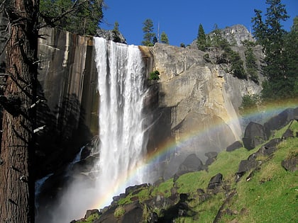
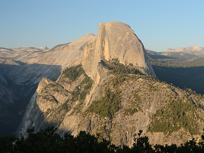
Nearby attractions include: Vernal Fall, Glacier Point, John Muir Trail, Curry Village.
Frequently Asked Questions (FAQ)
Which popular attractions are close to Happy Isles?
Nearby attractions include John Muir Trail, Yosemite National Park (3 min walk), Sierra Point, Yosemite National Park (11 min walk), Grizzly Peak, Yosemite National Park (12 min walk), Tenaya Canyon, Yosemite National Park (18 min walk).
How to get to Happy Isles by public transport?
The nearest stations to Happy Isles:
Bus
Bus
- Valley Shuttle Stop #16 • Lines: Yosemite Valley Shuttle (3 min walk)

