Jack Kaiser Stadium, New York City
Map
Facts and practical information
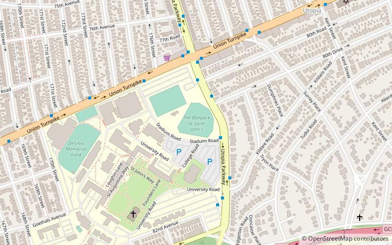
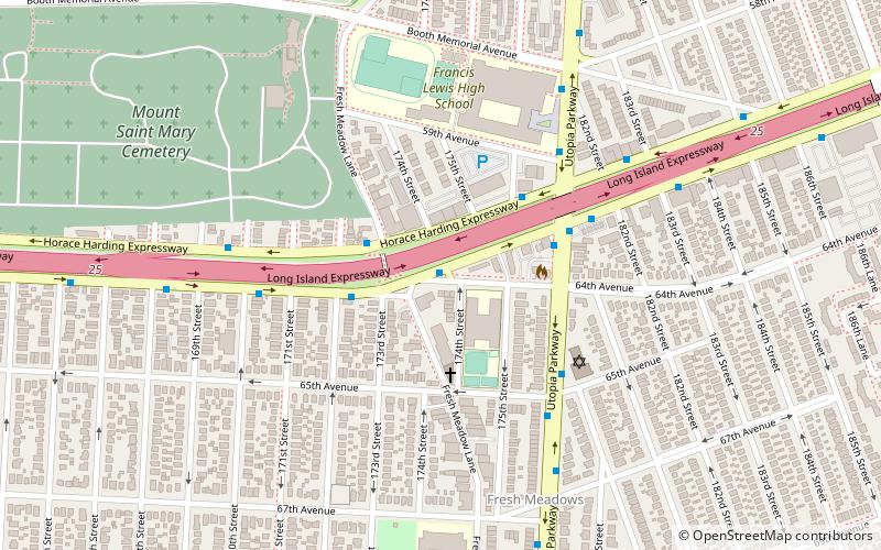
Jack Kaiser Stadium, originally known as The Ballpark at St. John’s, is a baseball stadium located on the campus of St. John's University in the neighborhood of Hillcrest near the neighborhoods of Jamaica and Fresh Meadows in New York City. Formerly used by the now-defunct Queens Kings minor league team in its inaugural season of 2000, it is currently used by the St. John's Red Storm baseball team. ()
Opened: 2000 (26 years ago)Capacity: 3500Coordinates: 40°43'25"N, 73°47'30"W
Address
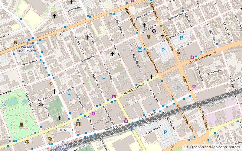
Northeastern Queens (Hillcrest)New York City
ContactAdd
Social media
Add
Getting there by public transportation
Public transportation stops near this location
- Metro
- Bus
 Metro
Metro
- Calculate routeHillside Ave & 172 Street 21 min walk
- Calculate routeHillside Ave & 170th St 22 min walk
- Calculate routeHillside Avenue & 171st Street 22 min walk
- Calculate routeHillside Ave & Homelawn St 23 min walk
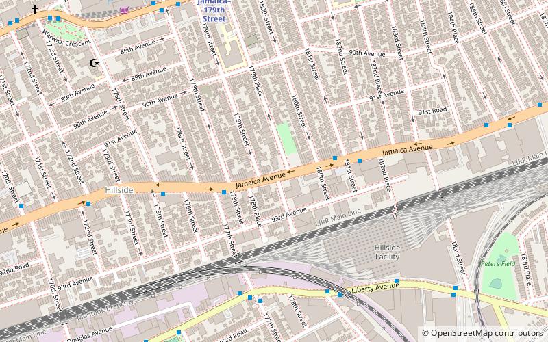
- Calculate routeJamaica–179th Street 22 min walk
- Calculate route169th Street 24 min walk
Maps SubwayMaps
 Manhattan Buses
SubwayMapsManhattan BusesDay trips


Frequently Asked Questions (FAQ)
Which popular attractions are close to Jack Kaiser Stadium?
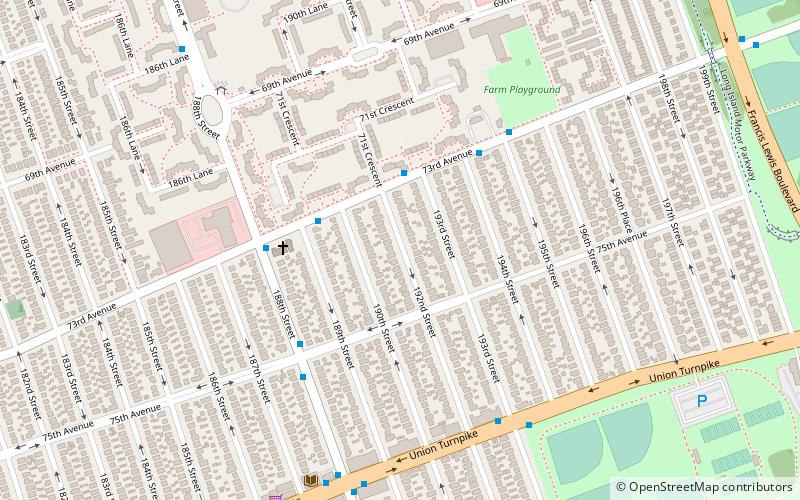
Nearby attractions include Utopia Playground, New York City (13 min walk), Hillcrest Veterans Square, New York City (20 min walk), Captain Tilly Park, New York City (23 min walk), Playground Seventy-Five, New York City (23 min walk).
How to get to Jack Kaiser Stadium by public transport?
The nearest stations to Jack Kaiser Stadium:
Bus
Metro
Bus
- Hillside Ave & 172 Street • Lines: Q3, Q43, Q77 (21 min walk)
- Hillside Ave & 170th St • Lines: Q1, Q2, Q3 (22 min walk)
Metro
- Jamaica–179th Street • Lines: <F>, F (22 min walk)
- 169th Street • Lines: <F>, F (24 min walk)