Octavia Boulevard, San Francisco
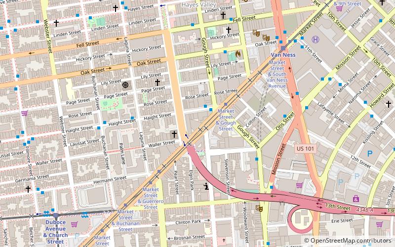
Map
Gallery
Facts and practical information
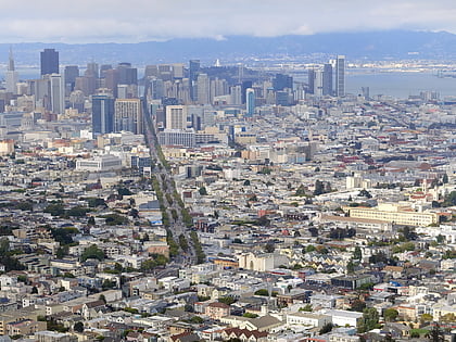
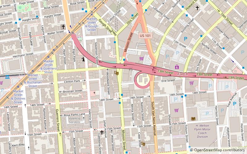
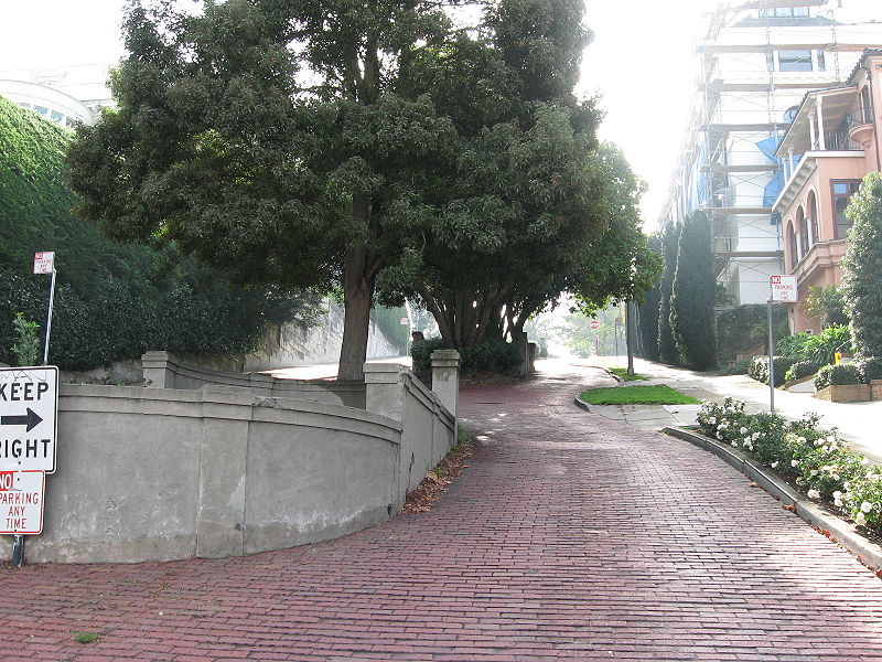
Octavia Boulevard is a major street in San Francisco, California that replaced the Hayes Valley portion of the damaged two-level Central Freeway. Once a portion of Octavia Street alongside shadowy, fenced-off land beneath the elevated U.S. Route 101 roadway, Octavia Boulevard was redeveloped and redesigned upon the suggestion of Mark Jolles of San Francisco. ()
Coordinates: 37°46'21"N, 122°25'23"W
Address
8 Octavia BoulevardNorthwest San Francisco (Lower Haight)San Francisco
Contact
Social media
Add
Day trips
Octavia Boulevard – popular in the area (distance from the attraction)
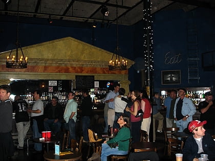
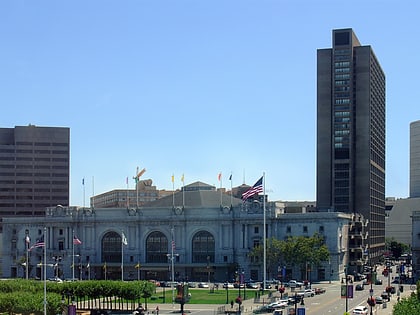
Nearby attractions include: Slim's, Bill Graham Civic Auditorium, San Francisco City Hall, Wiggle Bicycles.
Frequently Asked Questions (FAQ)
Which popular attractions are close to Octavia Boulevard?
Nearby attractions include SF LGBT Center, San Francisco (3 min walk), San Francisco Zen Center, San Francisco (5 min walk), San Francisco Conservatory of Music, San Francisco (7 min walk), Woodward's Gardens, San Francisco (8 min walk).
How to get to Octavia Boulevard by public transport?
The nearest stations to Octavia Boulevard:
Bus
Tram
Trolleybus
Light rail
Metro
Bus
- Haight Street & Gough Street • Lines: 7 (2 min walk)
- 150 Otis Street • Lines: 49 (5 min walk)
Tram
- Market Street & Gough Street • Lines: F (2 min walk)
Trolleybus
- 150 Otis Street • Lines: 14 (5 min walk)
- Otis Street & 12th Street • Lines: 14 (6 min walk)
Light rail
- Van Ness • Lines: K, N, S, T (7 min walk)
- Duboce Avenue & Church Street • Lines: N (11 min walk)
Metro
- 16th Street Mission • Lines: Blue, Green, Red, Yellow (14 min walk)
- Civic Center • Lines: Blue, Green, Red, Yellow (18 min walk)

 Muni Metro