Christ the Saviour Monastery, Niagara Falls
Map
Facts and practical information
Christ the Saviour Monastery, also known as Christminster, is a Benedictine monastery of the Russian Orthodox Church Outside Russia in Canada. The monastery is an institution of Western Rite Orthodoxy. ()
Coordinates: 43°5'14"N, 79°2'19"W
Address
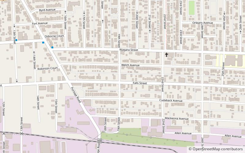
South EndNiagara Falls
ContactAdd
Social media
Add
Getting there by public transportation
Public transportation stops near this location
- Bus
 Bus
Bus
- Calculate routeNFTA Portage Road Transit Center 28 min walk
Day trips


Frequently Asked Questions (FAQ)
Which popular attractions are close to Christ the Saviour Monastery?
Nearby attractions include Holy Trinity Roman Catholic Church Complex, Niagara Falls (7 min walk), Fallsville Splash Park, Niagara Falls (20 min walk), Oakwood Cemetery, Niagara Falls (21 min walk), Seneca Niagara Casino & Hotel, Niagara Falls (24 min walk).
How to get to Christ the Saviour Monastery by public transport?
The nearest stations to Christ the Saviour Monastery:
Bus
Bus
- NFTA Portage Road Transit Center (28 min walk)