Dogtown, Oakland
Map
Facts and practical information
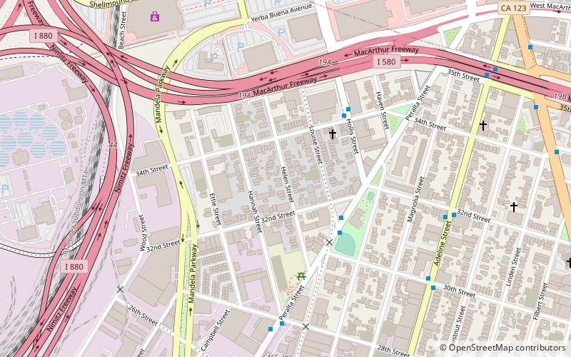
Dogtown is a nickname for a portion of West Oakland in the city of Oakland, California. Oakland Police officers coined the phrase due to a large population of stray dogs dating from the early 1980s. It is bounded on the east by Adeline Street, on the west by Mandela Parkway, and its north–south limits are the 580 freeway and 28th Street. The area is undergoing rapid redevelopment from former industrial uses to live-work and other residential forms. ()
Coordinates: 37°49'28"N, 122°17'10"W
Address
West Oakland (Clawson)Oakland
ContactAdd
Social media
Add
Getting there by public transportation
Public transportation stops near this location
- Metro
- Bus
- Train
 Metro
Metro
- Calculate routePeralta Street & Louise Street 4 min walk
- Calculate routeHollis Street & 34th Street 4 min walk
- Calculate routeAdeline Street & 32nd Street 8 min walk
- Calculate routeMacArthur 28 min walk
- Calculate route19th Street Oakland 38 min walk
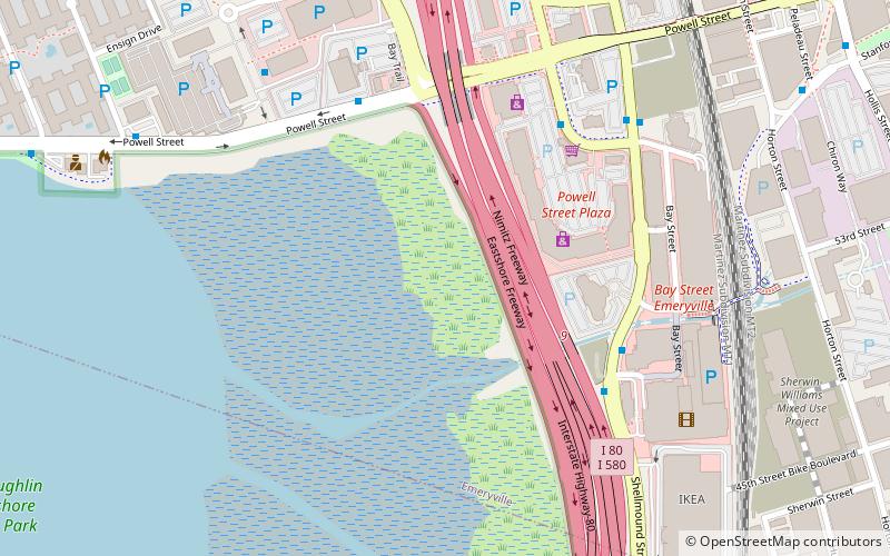
- Calculate routeEmeryville 30 min walk
Day trips


Frequently Asked Questions (FAQ)
Which popular attractions are close to Dogtown?
Nearby attractions include City Slicker Farms, Oakland (4 min walk), Emeryville, Oakland (13 min walk), Emeryville Shellmound, Oakland (20 min walk).
How to get to Dogtown by public transport?
The nearest stations to Dogtown:
Bus
Metro
Train
Bus
- Peralta Street & Louise Street • Lines: 29 (4 min walk)
- Hollis Street & 34th Street • Lines: 29 (4 min walk)
Metro
- MacArthur • Lines: Orange, Red, Yellow (28 min walk)
- 19th Street Oakland • Lines: Orange, Red, Yellow (38 min walk)
Train
- Emeryville (30 min walk)