Vetter Mountain, San Gabriel Mountains National Monument
#7 among attractions in San Gabriel Mountains National Monument


Facts and practical information
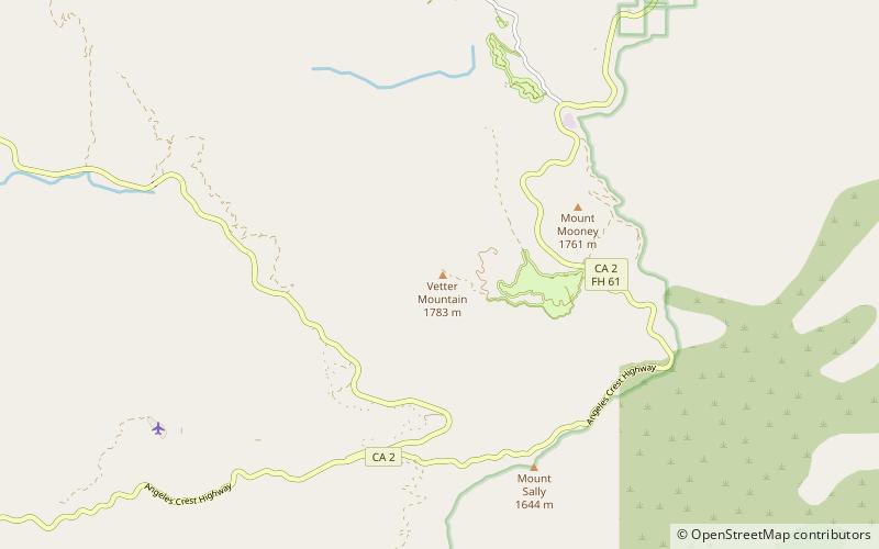
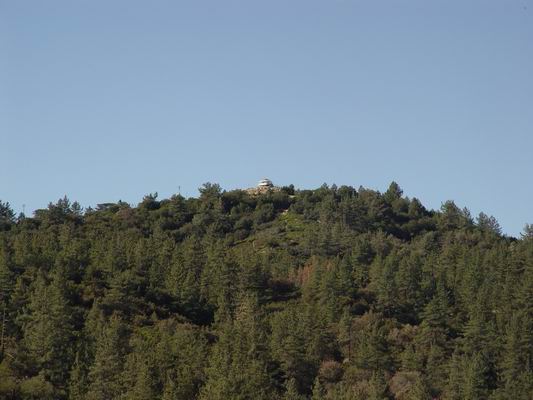
Vetter Mountain is located in the San Gabriel Mountains and within the Angeles National Forest, Los Angeles County, California. Elevation 5,911 feet feet. ()
San Gabriel Mountains National Monument United States
Vetter Mountain – popular in the area (distance from the attraction)
Nearby attractions include: Mount Wilson, Silver Moccasin Trail, Strawberry Peak, San Gabriel Peak.
 Nature, Natural attraction, Mountain
Mount Wilson, San Gabriel Mountains National Monument
137 min walk • Mount Wilson is a peak in the San Gabriel Mountains, located within the San Gabriel Mountains National Monument and Angeles National Forest in Los Angeles County, California.
 Hiking, Hiking trail
Silver Moccasin Trail, San Gabriel Mountains National Monument
33 min walk • The Silver Moccasin Trail is a 53-mile trail located in the San Gabriel Mountains, northeast of Los Angeles. It begins at Chantry Flat Recreation Area above the city of Arcadia, California, traversing upward and down through several canyons and along the high ridges of the Angeles National Forest. This trail connects Mt.
 Nature, Natural attraction, Mountain
Strawberry Peak, San Gabriel Mountains National Monument
135 min walk • Strawberry Peak is a prominent peak in the San Gabriel Mountains of Los Angeles County, California. It is located about 10 miles north of Pasadena, and 28 miles from Los Angeles, along the Angeles Crest Highway.
 Nature, Natural attraction, Mountain
San Gabriel Peak, Angeles National Forest
140 min walk • San Gabriel Peak is a summit in the San Gabriel Mountains in the U.S. state of California. It was named by the United States Geological Survey in 1894 and is located in the Angeles National Forest.
 Nature, Natural attraction, Mountain
Mount Lowe, Angeles National Forest
161 min walk • Mount Lowe is a mountain on the southern fold of the San Gabriel Mountains. Originally named Oak Mountain, it was renamed for Professor Thaddeus S.C.
 Dam
DamCogswell Dam, San Gabriel Mountains National Monument
131 min walk • Cogswell Dam is a rockfill dam on the West Fork of the San Gabriel River in Los Angeles County, California. It is located in the San Gabriel Mountains, northeast of Mount Wilson, and within the Angeles National Forest.
 Seminal multi-telescope observatory
Mount Wilson Observatory, Angeles National Forest
152 min walk • The Mount Wilson Observatory is an astronomical observatory in Los Angeles County, California, United States. The MWO is located on Mount Wilson, a 1,740-meter peak in the San Gabriel Mountains near Pasadena, northeast of Los Angeles.
 Hiking, Hiking trail
Gabrielino Trail, San Gabriel Mountains National Monument
63 min walk • The Gabrielino Trail is a United States National Recreation Trail that runs through the Angeles National Forest with trailheads at Windsor Avenue in Altadena, California on the west end and Chantry Flat, just north of Arcadia, California, on the east.
 Observatories and planetariums
Stony Ridge Observatory, San Gabriel Mountains National Monument
46 min walk • Stony Ridge Observatory is an astronomical observatory built by and for amateur astronomers in the mountains of Los Angeles County, California, in 1957.
 Hiking, Hiking trail
Sam Merrill Trail, Angeles National Forest
191 min walk • The Sam Merrill Trail is a major hiking trail in the Las Flores Canyon of the San Gabriel Mountain Range north of Altadena, California, which leads to the top of Echo Mountain. It was built by Charles Warner and the Forest Conservation Club of Pasadena during the 1930s.
 Tower
TowerKCBS-TV/FM Tower, Angeles National Forest
131 min walk • KCBS-TV/FM Tower is a 296.4 meter high guyed radio/television tower on Mount Wilson above Los Angeles at 123 CBS Lane. The KCBS-TV/FM Tower was built in 1986. It was owned by CBS Corporation and used by KCBS-TV and KCBS-FM.
