Silver Moccasin Trail, San Gabriel Mountains National Monument

Gallery (2)
Map
Map
Gallery
Facts and practical information
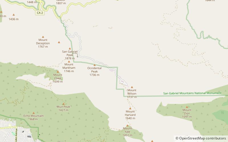
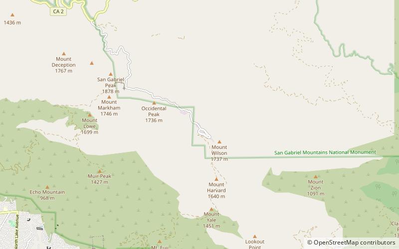
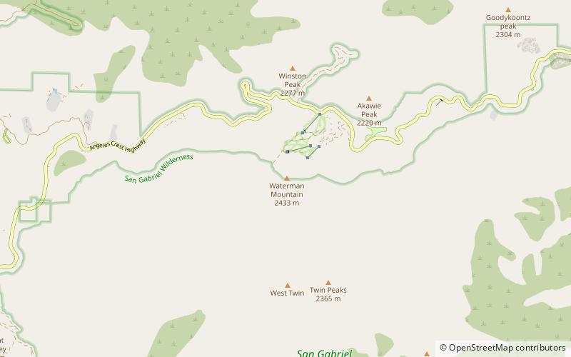
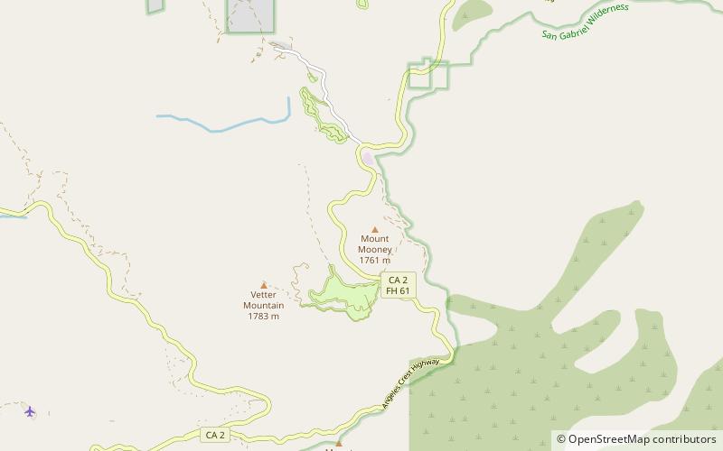
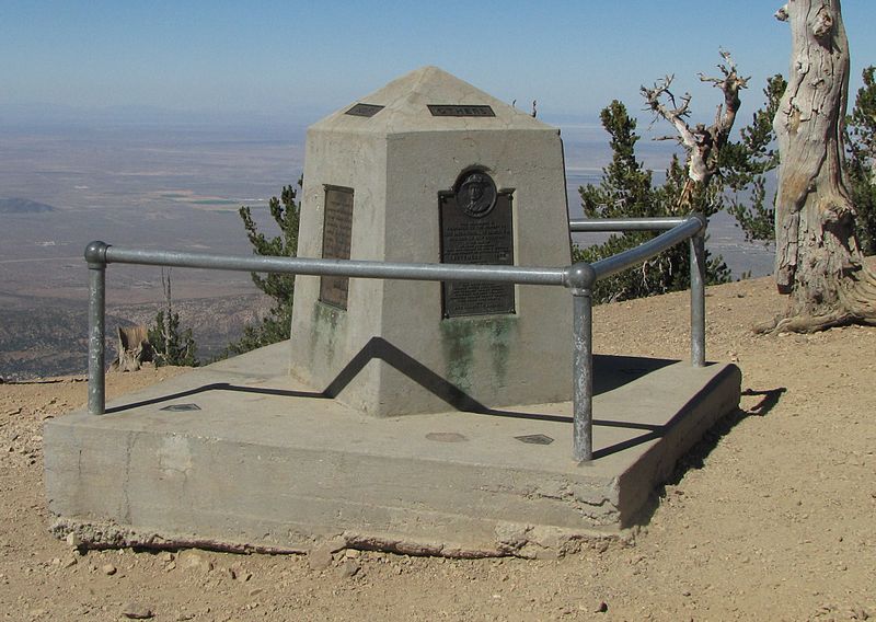
The Silver Moccasin Trail is a 53-mile trail located in the San Gabriel Mountains, northeast of Los Angeles. It begins at Chantry Flat Recreation Area above the city of Arcadia, California, traversing upward and down through several canyons and along the high ridges of the Angeles National Forest. This trail connects Mt. Baden-Powell, Mount Burnham, Throop Peak and Mount Hawkins. It comes to its highest point of 9,399 feet at Mount Baden-Powell after which point it descends to its terminus at Vincent Gap on the Angeles Crest Highway near Wrightwood. ()
Length: 53 miMaximum elevation: 9407 ftCoordinates: 34°18'23"N, 118°0'36"W
Address
San Gabriel Mountains National Monument
ContactAdd
Social media
Add
Day trips