Wasena, Roanoke
Map

Map

Facts and practical information
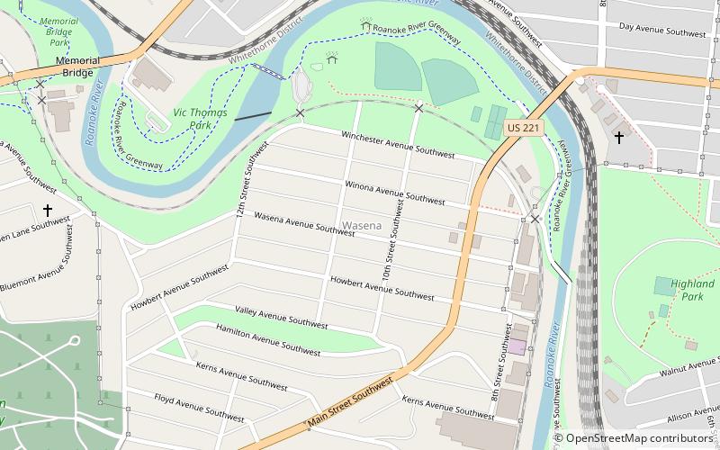
Wasena is a Roanoke, Virginia neighborhood located in south, central Roanoke bisected by U.S. Route 221, immediately to the south of the Roanoke River. It borders the neighborhoods of Raleigh Court on the west, Old Southwest on the north and east and Mountain View via the Wasena Bridge across the Roanoke River on the north, and Franklin-Colonial on the south. As of the 2000 U.S. Census, Wasena has a population of 1,633 residents. ()
Coordinates: 37°15'53"N, 79°57'40"W
Address
WasenaRoanoke
ContactAdd
Social media
Add
Day trips
Wasena – popular in the area (distance from the attraction)
Nearby attractions include: Grandin Theatre, Mill Mountain Theatre, Beth Israel Synagogue, St. John's Episcopal Church.
Frequently Asked Questions (FAQ)
Which popular attractions are close to Wasena?
Nearby attractions include Mountain View, Roanoke (9 min walk), Mountain View, Roanoke (9 min walk), Memorial Bridge, Roanoke (13 min walk), Evergreen Burial Park, Roanoke (15 min walk).
How to get to Wasena by public transport?
The nearest stations to Wasena:
Bus
Train
Bus
- Cambell Court Bus Station (31 min walk)
Train
- Roanoke (32 min walk)


