Mount Olivet United Methodist Church, Arlington

Gallery (1)
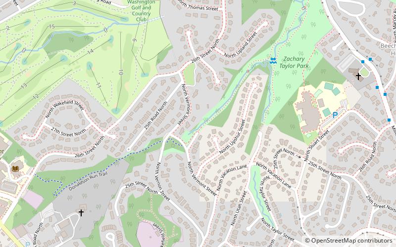
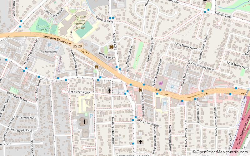
Map
Map
Facts and practical information
Mount Olivet United Methodist Church is a Methodist church located in Arlington County, Virginia and occupies the oldest church site in continuous use in the county. The church and its cemetery are located at the southwest corner of Glebe Road and 16th Street North. ()
Coordinates: 38°54'23"N, 77°7'7"W
Address
North Arlington (Donaldson Run)Arlington
ContactAdd
Social media
Add
Getting there by public transportation
Public transportation stops near this location
- Bus
 Bus
Bus
- Calculate routeMilitary Road at front of Church 11 min walk
Day trips


Frequently Asked Questions (FAQ)
Which popular attractions are close to Mount Olivet United Methodist Church?
Nearby attractions include Potomac Overlook Regional Park, Arlington (18 min walk), Cherrydale, Arlington (22 min walk).
How to get to Mount Olivet United Methodist Church by public transport?
The nearest stations to Mount Olivet United Methodist Church:
Bus
Bus
- Military Road at front of Church • Lines: 53A, 53B (11 min walk)