Maywood Historic District, Arlington


Facts and practical information
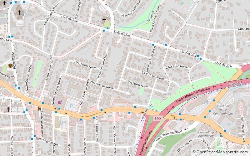
The Maywood Historic District is a national historic district located in Arlington County, Virginia. It contains 198 contributing buildings in a residential neighborhood located in the northern part of the County. The area was platted and subdivided in five sections between 1909 and 1913 following the arrival in 1906 of the Great Falls and Old Dominion Railroad. The area was primarily developed between 1909 and 1929. The dwelling styles include a variety of architectural styles, including Queen Anne, Colonial Revival foursquares, Bungalow, and two-story gable-front houses. Several dwellings in the neighborhood have been identified as prefabricated mail-order houses. ()
North Arlington (Maywood)Arlington
Maywood Historic District – popular in the area (distance from the attraction)
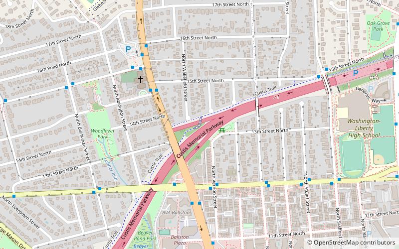
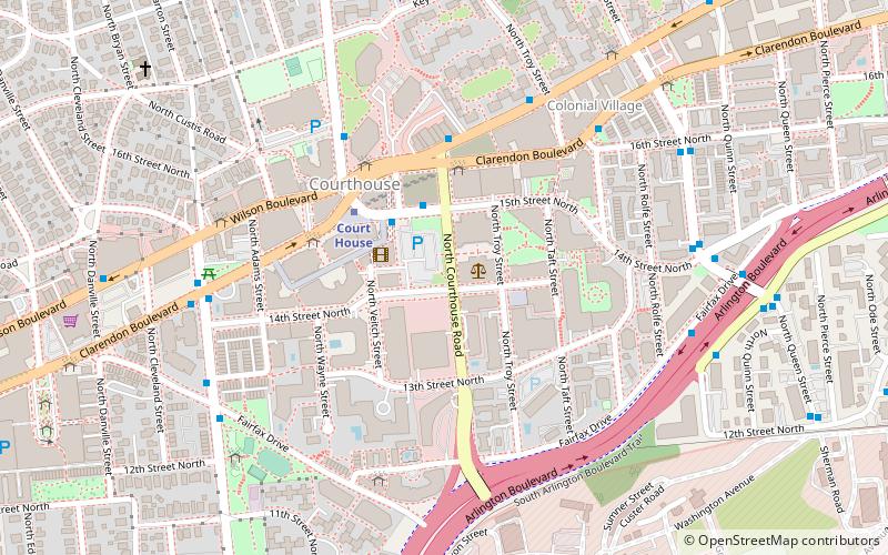
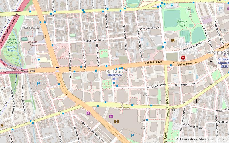
Nearby attractions include: Custis Trail, The Crossing Clarendon, Fort C. F. Smith, Georgetown Reservoir.
Frequently Asked Questions (FAQ)
Which popular attractions are close to Maywood Historic District?
How to get to Maywood Historic District by public transport?
Bus
- Lee Hwy adjacent to 3206 • Lines: 55 (4 min walk)
- N Lorcom Ln at N Jackson St • Lines: 62 (5 min walk)
Metro
- Clarendon • Lines: Or, Sv (22 min walk)
- Court House • Lines: Or, Sv (26 min walk)


