Caldecott Tunnel, Oakland
Map

Gallery

Facts and practical information
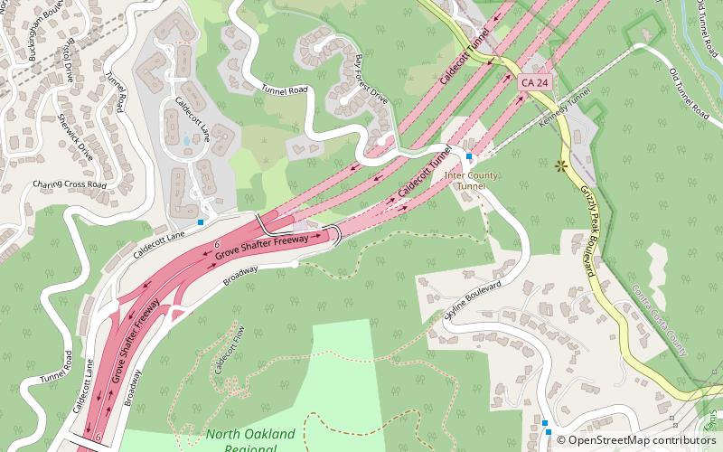
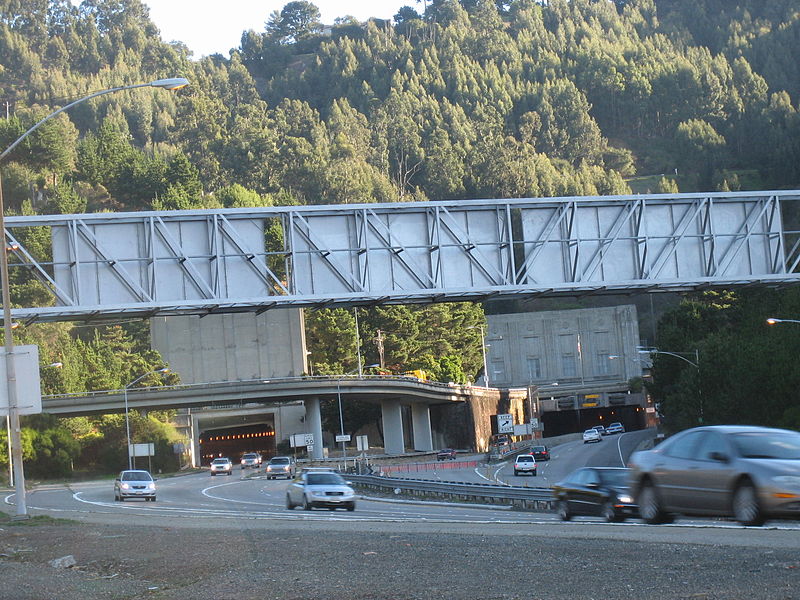
The Caldecott Tunnel is an east–west highway tunnel through the Berkeley Hills between Oakland and Orinda, California. Its four bores carry California State Route 24. Named after Thomas E. Caldecott, former mayor of Berkeley, it opened in 1937 as a two-bore tunnel. The third bore opened in 1964 and the fourth bore in 2013. Currently, the two oldest bores carry eastbound traffic and the two newest bores carry westbound traffic. ()
Coordinates: 37°51'17"N, 122°12'60"W
Address
North Hills (Merriewood)Oakland
ContactAdd
Social media
Add
Day trips
Caldecott Tunnel – popular in the area (distance from the attraction)
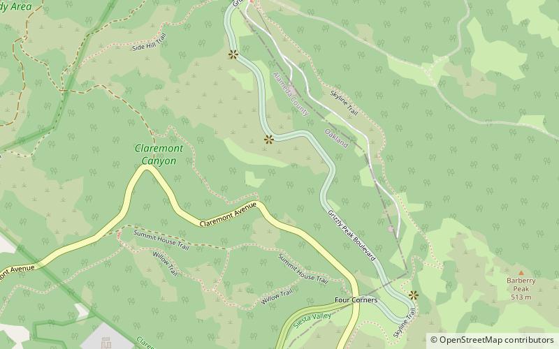
Nearby attractions include: Robert Sibley Volcanic Regional Preserve, Temescal Regional Recreational Area, Claremont Canyon Regional Preserve, Oakland Hills.
Frequently Asked Questions (FAQ)
Which popular attractions are close to Caldecott Tunnel?
Nearby attractions include Robert Sibley Volcanic Regional Preserve, Oakland (21 min walk), Lake Temescal, Oakland (22 min walk), Claremont Canyon Regional Preserve, Oakland (23 min walk), Temescal Regional Recreational Area, Oakland (24 min walk).


