Mulry Square, New York City
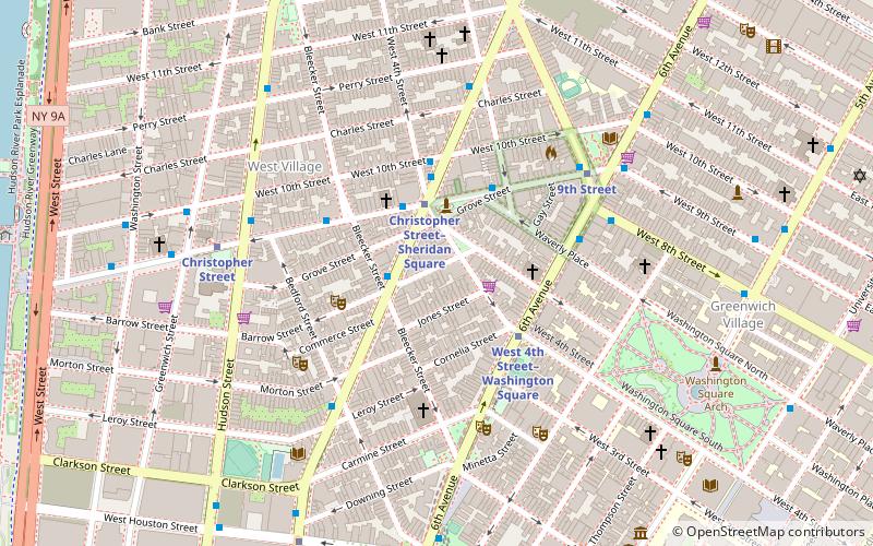
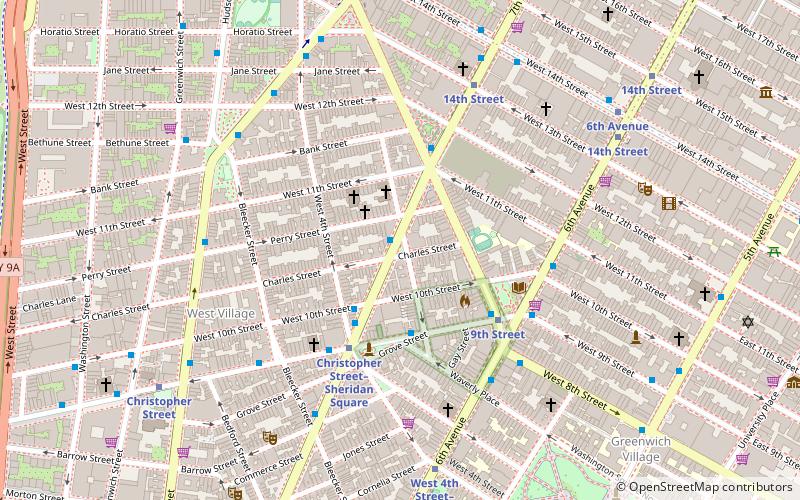
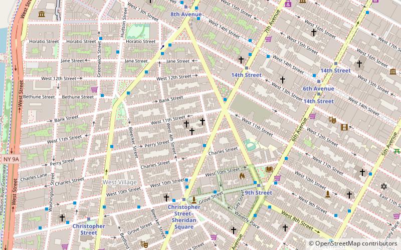
Map
Gallery
Facts and practical information
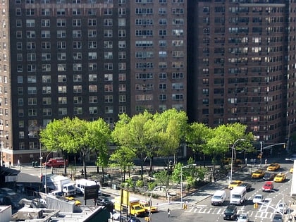
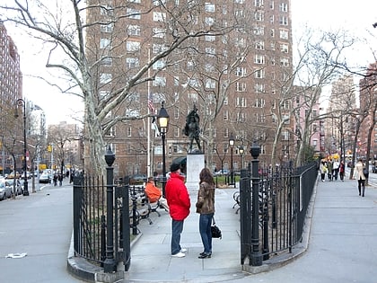
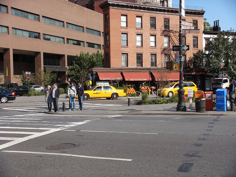
Mulry Square is a triangular parking lot at the southwest corner of Greenwich Avenue and Seventh Avenue South in Greenwich Village, Manhattan, New York City. It was once thought to be the site of a wedge-shaped diner that was the inspiration for Edward Hopper's famous painting Nighthawks. The parking lot's fencing supports Tiles for America, a September 11 memorial consisting of some 6,000 tiles created across the country. ()
Elevation: 23 ft a.s.l.Coordinates: 40°44'11"N, 74°0'5"W
Address
Greenwich AvenueDowntown Manhattan (West Village)New York City 10014
ContactAdd
Social media
Add
Day trips
Mulry Square – popular in the area (distance from the attraction)
Nearby attractions include: Marie's Crisis, New York City AIDS Memorial, Stonewall National Monument, Café Bohemia.
Frequently Asked Questions (FAQ)
Which popular attractions are close to Mulry Square?
Nearby attractions include Greenwich Avenue, New York City (1 min walk), Rattlestick Playwrights Theater, New York City (2 min walk), New York City AIDS Memorial, New York City (2 min walk), McCarthy Square, New York City (3 min walk).
How to get to Mulry Square by public transport?
The nearest stations to Mulry Square:
Metro
Bus
Train
Ferry
Metro
- 9th Street • Lines: Hob–33, Jsq–33, JSQ–33 via HOB (5 min walk)
- 14th Street • Lines: <F>, 1, 2, 3, F, Hob–33, Jsq–33, JSQ–33 via HOB, M (5 min walk)
Bus
- Bethune Street & Greenwich Street • Lines: M11 (7 min walk)
- Greenwich St/ Horatio St • Lines: M11 (8 min walk)
Train
- New York Penn Station (27 min walk)
- Pennsylvania Station (28 min walk)
Ferry
- Hoboken 14th Street (41 min walk)

 Subway
 Manhattan Buses
