Fort Totten, New York City
Map

Gallery

Facts and practical information
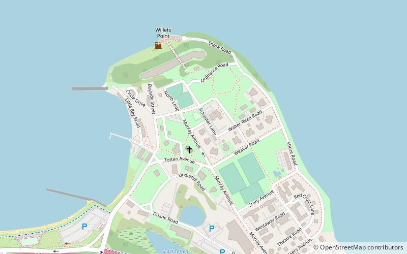
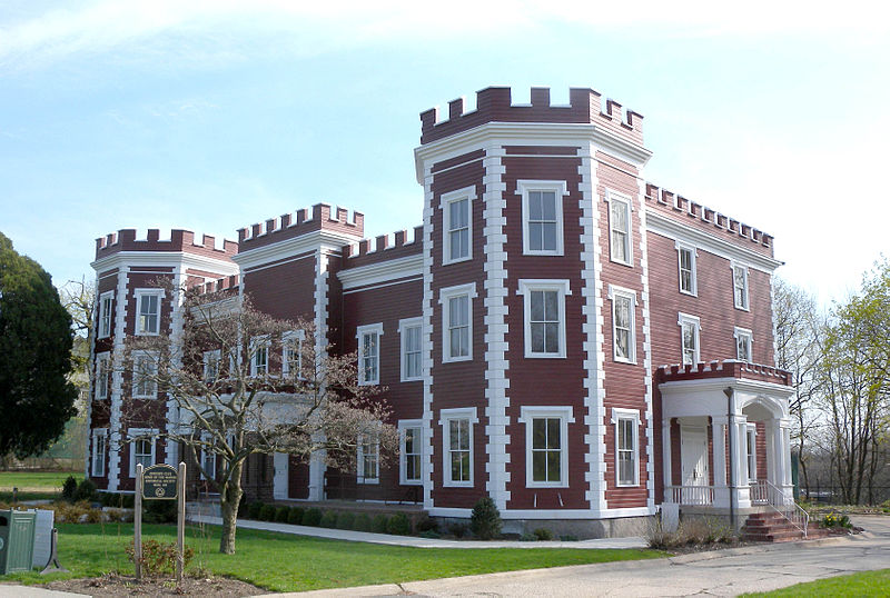
Fort Totten is a former active United States Army installation in the New York City borough of Queens. It is located on the Willets Point peninsula on the north shore of Long Island. Fort Totten is at the head of Little Neck Bay, where the East River widens to become Long Island Sound. While the U.S. Army Reserve continues to maintain a presence at the fort, the property is now owned by the City of New York. ()
Built: 1862 (164 years ago)Coordinates: 40°47'37"N, 73°46'40"W
Day trips
Fort Totten – popular in the area (distance from the attraction)
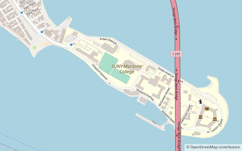
Nearby attractions include: Throgs Neck Bridge, Fort Schuyler, Throgs Neck Light, Bayside Marina.
Frequently Asked Questions (FAQ)
How to get to Fort Totten by public transport?
The nearest stations to Fort Totten:
Bus
Bus
- Bell Boulevard & Totten Avenue • Lines: Q16 (11 min walk)
- Bell Boulevard & 212th Street • Lines: Q13, Q16 (11 min walk)

 Subway
 Manhattan Buses


