Rock Creek and Potomac Parkway Bridge near P Street, Washington D.C.

Facts and practical information
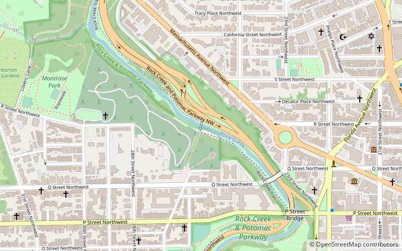
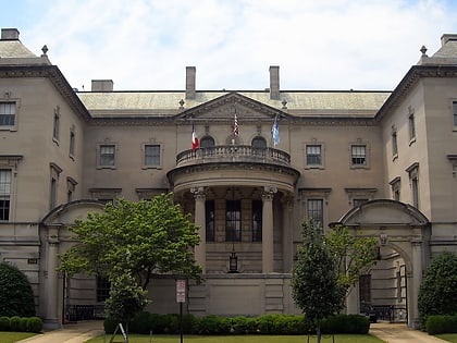
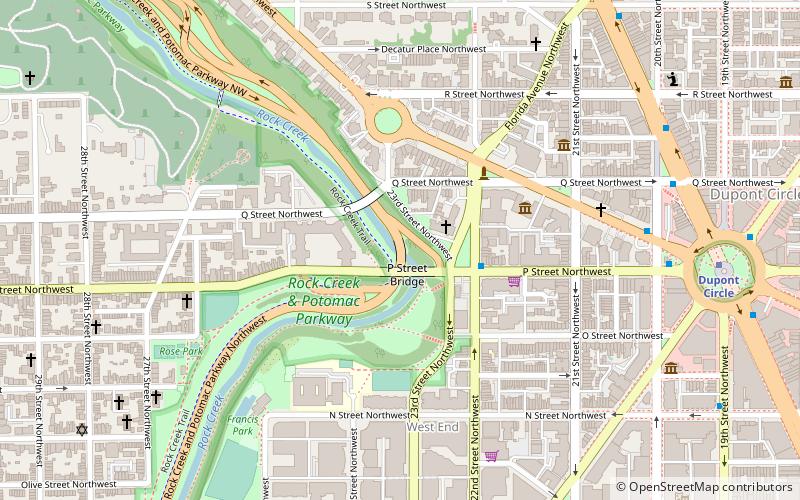
The Rock Creek and Potomac Parkway Bridge near P Street is a bridge carrying the Rock Creek and Potomac Parkway across Rock Creek in Washington, DC. It is the middle of three bridges where the Rock Creek and Potomac Parkway switches from one side of the river to the other, the others being the L Street Bridge and the Shoreham Hill Bridge. The bridge is near the site of a historical river ford used by French soldiers traveling to Yorktown in 1781. The bridge is reinforced concrete faced in mica schist. ()
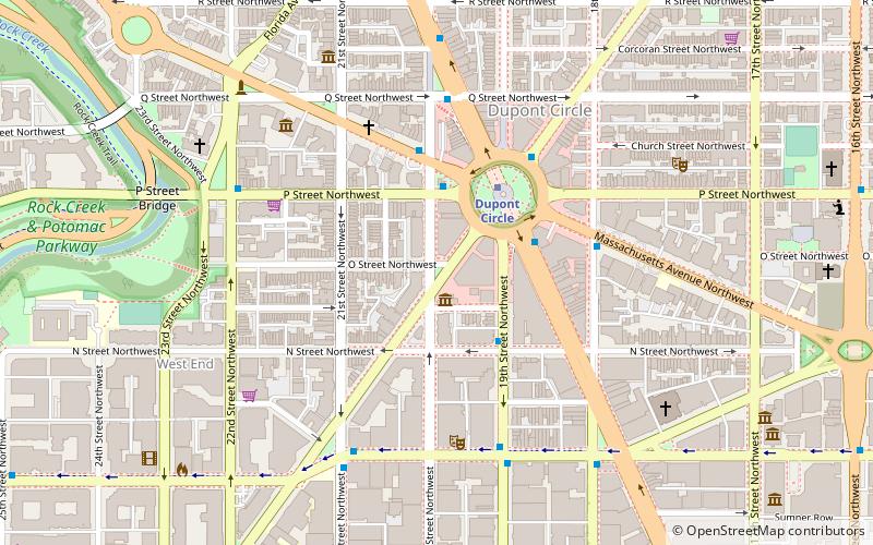
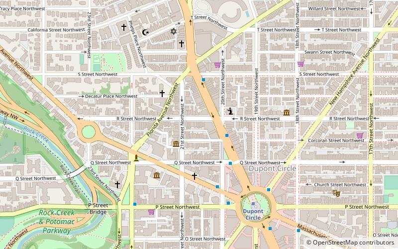
Northwest Washington (Dupont Circle)Washington D.C.
Rock Creek and Potomac Parkway Bridge near P Street – popular in the area (distance from the attraction)
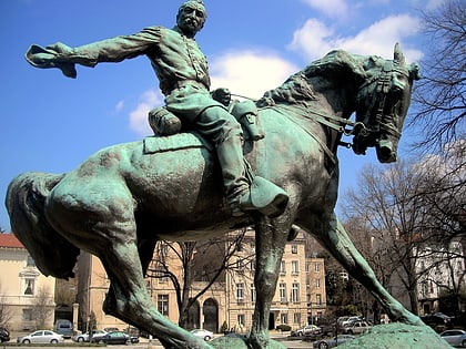
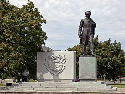
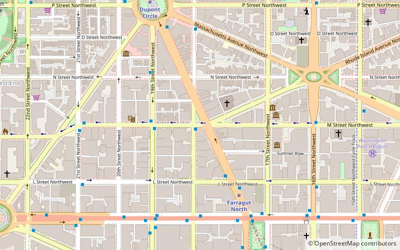
Nearby attractions include: Kramers, The Phillips Collection, Philip Sheridan, Sonny Bono Memorial Park.
Frequently Asked Questions (FAQ)
Which popular attractions are close to Rock Creek and Potomac Parkway Bridge near P Street?
How to get to Rock Creek and Potomac Parkway Bridge near P Street by public transport?
Metro
- Dupont Circle • Lines: Rd (10 min walk)
- Foggy Bottom–GWU • Lines: Bl, Or, Sv (17 min walk)
Bus
- MTA Bus Stop • Lines: 305, 315 (17 min walk)
- 21st St & F St Northwest (24 min walk)

