Academy of Art University Automobile Museum, San Francisco
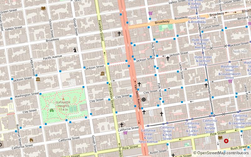
Map
Facts and practical information
The Academy of Art University Automobile Museum is a non-profit museum located in San Francisco, California. The museum serves both as a conservator of automotive history and as a tool for students in the industrial design department at the Academy of Art University, particularly those in the Automotive Restoration program. Forbes has estimated the value of the museum's collection to be $70 million. The museum is accessible for the public by appointment at scheduled times. ()
Coordinates: 37°47'35"N, 122°25'24"W
Address
Northwest San Francisco (Pacific Heights)San Francisco
ContactAdd
Social media
Add
Getting there by public transportation
Public transportation stops near this location
- Metro
- Bus
- Trolleybus
- Tram
- Light rail
- Ferry
 Metro
Metro
- Calculate routeVan Ness Avenue & Clay Street 2 min walk
- Calculate routeJackson Street & Van Ness Avenue 2 min walk
- Calculate routeClay Street & Van Ness Avenue 2 min walk
- Calculate routeSacramento Street & Franklin Street 4 min walk
- Calculate routeCalifornia Street & Van Ness Avenue 6 min walk
- Calculate routeCalifornia Street & Polk Street 6 min walk
- Calculate routeCalifornia Street & Larkin Street 8 min walk
- Calculate routeHyde Street & Jackson Street 8 min walk
- Calculate routePowell Street 27 min walk
- Calculate routeCivic Center 28 min walk
- Calculate routePowell Street 27 min walk
- Calculate routeCivic Center 28 min walk
- Calculate routePier 41 Gate 1 33 min walk
- Calculate routePier 41 Gate 2 33 min walk
Maps Muni Metro
Muni MetroDay trips
Academy of Art University Automobile Museum – popular in the area (distance from the attraction)
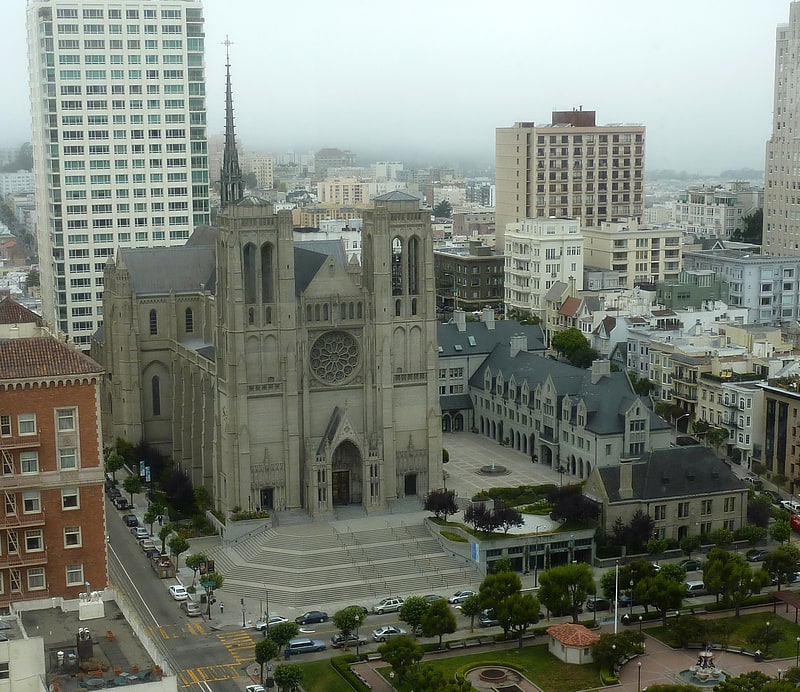
Nearby attractions include: Great American Music Hall, The Regency Ballroom, Cable Car Museum, Cathedral of Saint Mary of the Assumption.


Frequently Asked Questions (FAQ)
Which popular attractions are close to Academy of Art University Automobile Museum?
Nearby attractions include Haas-Lilienthal House, San Francisco (3 min walk), C. A. Belden House, San Francisco (4 min walk), Second Church of Christ, San Francisco (5 min walk), Lafayette Park, San Francisco (7 min walk).
How to get to Academy of Art University Automobile Museum by public transport?
The nearest stations to Academy of Art University Automobile Museum:
Bus
Trolleybus
Tram
Light rail
Metro
Ferry
Bus
- Van Ness Avenue & Clay Street • Lines: 101, 101X, 24C, 30, 49, 4C, 54C, 70, 90 (2 min walk)
- Jackson Street & Van Ness Avenue • Lines: 12, 27 (2 min walk)
Trolleybus
- Clay Street & Van Ness Avenue • Lines: 1 (2 min walk)
- Sacramento Street & Franklin Street • Lines: 1 (4 min walk)
Tram
- California Street & Van Ness Avenue (6 min walk)
- California Street & Polk Street (6 min walk)
Light rail
- Powell Street • Lines: K, N, S, T (27 min walk)
- Civic Center • Lines: K, N, S, T (28 min walk)
Metro
- Powell Street • Lines: Blue, Green, Red, Yellow (27 min walk)
- Civic Center • Lines: Blue, Green, Red, Yellow (28 min walk)
Ferry
- Pier 41 Gate 1 • Lines: Blue & Gold Fleet (33 min walk)
- Pier 41 Gate 2 • Lines: Blue & Gold Fleet, San Francisco Bay Ferry (33 min walk)