Phipps Peak, Lake Tahoe Basin Management Unit

Gallery (1)
Map
Map
Facts and practical information
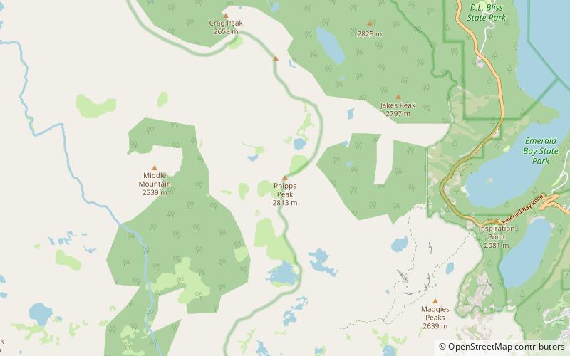
Phipps Peak is a mountain in the Sierra Nevada to the west of Emerald Bay and Lake Tahoe; and to the east of Rockbound Valley and the Crystal Range. The peak is in El Dorado County, California and the Desolation Wilderness. ()
Elevation: 9238 ftProminence: 434 ftCoordinates: 38°57'17"N, 120°9'0"W
Address
Lake Tahoe Basin Management Unit
ContactAdd
Social media
Add
Day trips


