Maxwell Street, Chicago

Gallery (5)
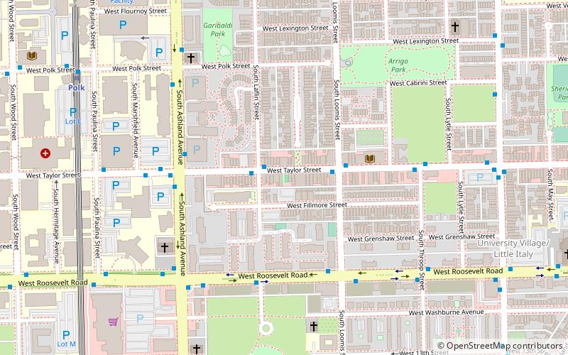
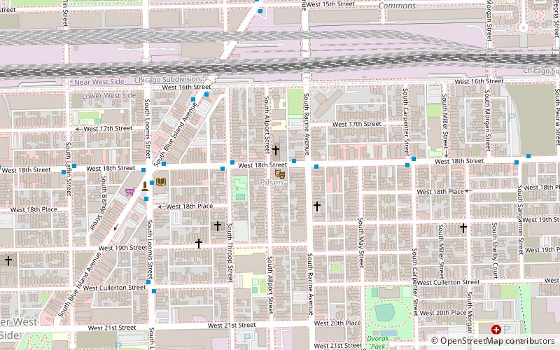
Map

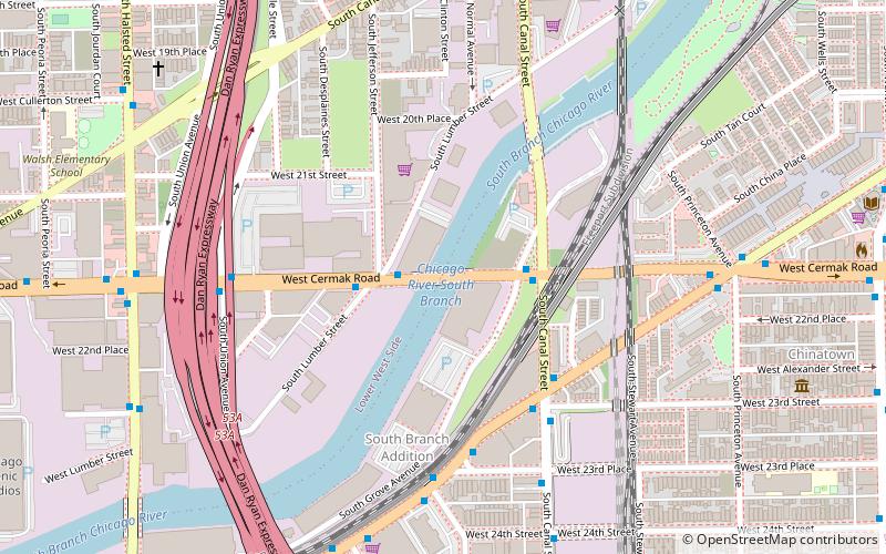
Map

Gallery
Facts and practical information
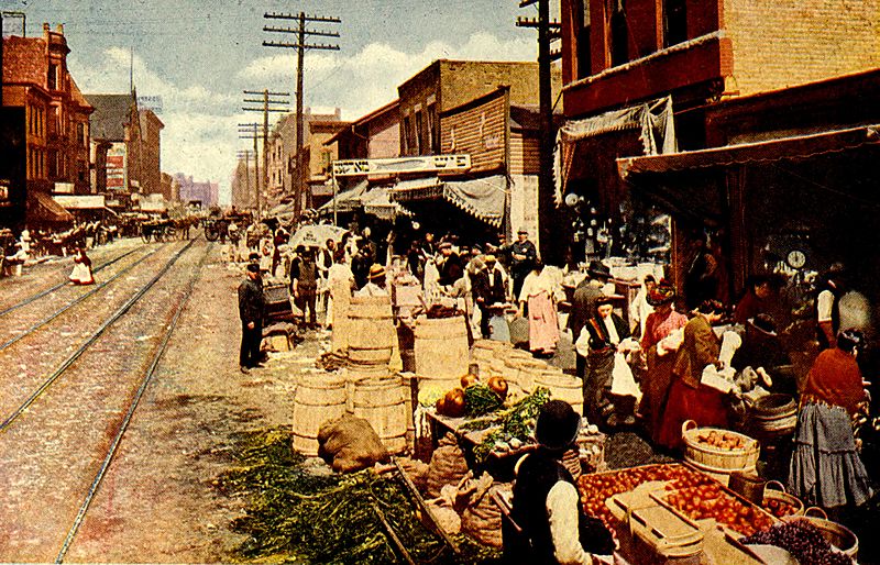
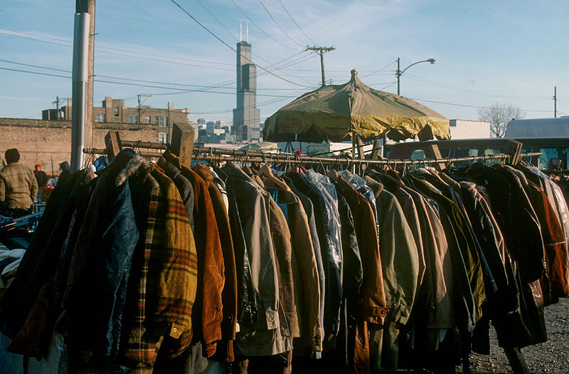
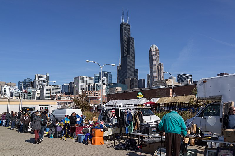
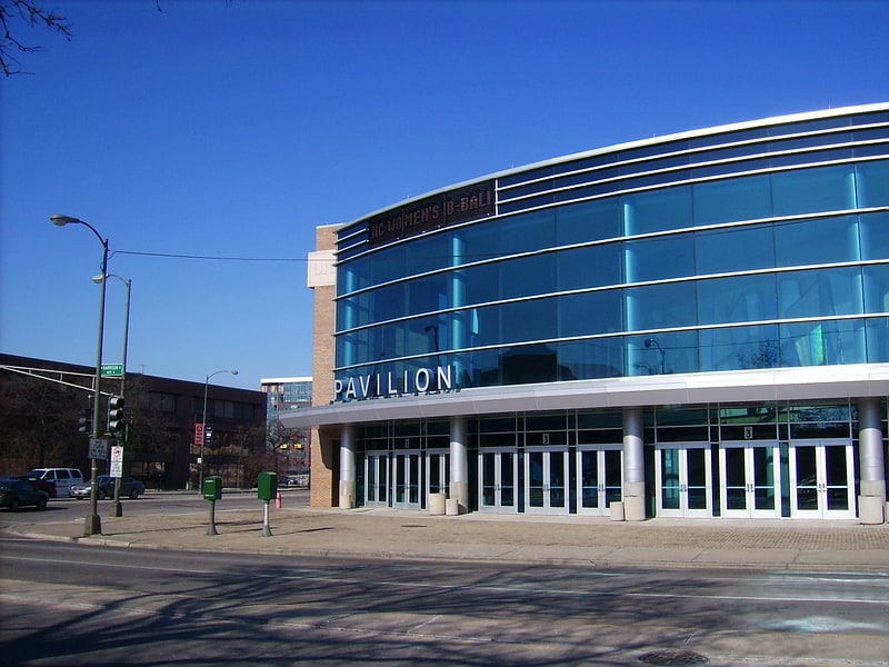
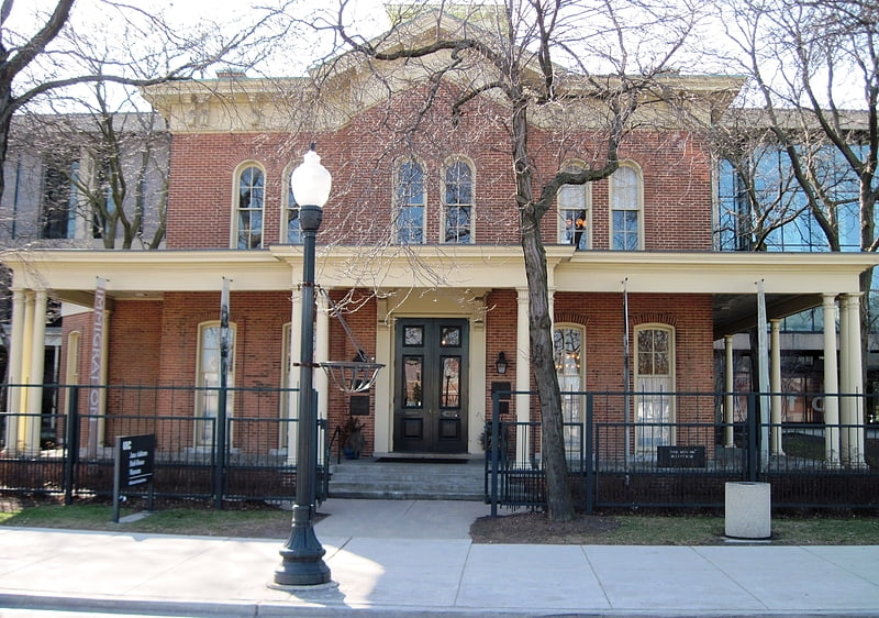
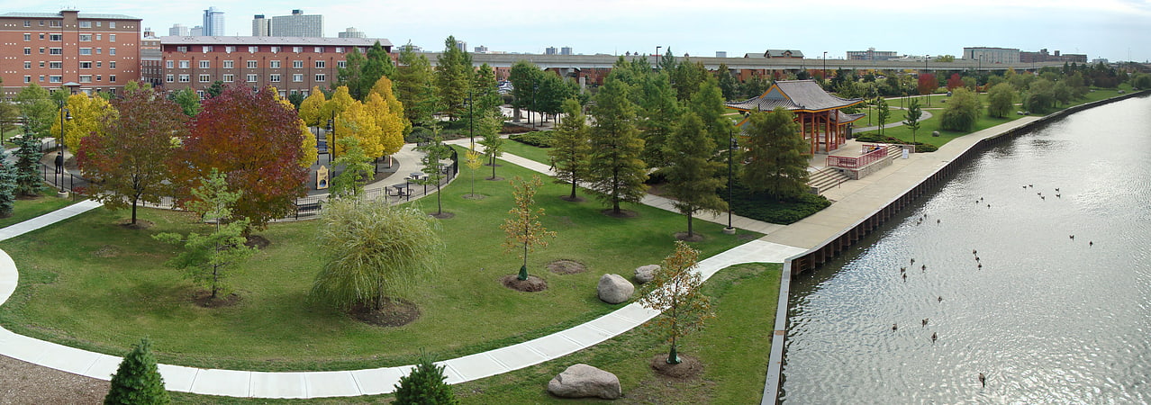
Maxwell Street is an east-west street in Chicago, Illinois that intersects with Halsted Street just south of Roosevelt Road. It runs at 1330 South in the numbering system running from 500 West to 1126 West. The Maxwell Street neighborhood is considered part of the Near West Side and is one of the city's oldest residential districts. It is notable as the location of the celebrated Maxwell Street Market and the birthplace of Chicago blues and the "Maxwell Street Polish", a sausage sandwich. A large portion of the area is now part of the campus of the University of Illinois at Chicago and a private housing development sponsored by the university. ()
Coordinates: 41°51'52"N, 87°38'49"W
Getting there by public transportation
Public transportation stops near this location
- Metro
- Bus
- Train
 Metro
Metro
- Calculate routeHalsted & Maxwell 1 min walk
- Calculate routeRoosevelt & Halsted 5 min walk
- Calculate routeHalsted Street 8 min walk
- Calculate routeLaSalle Street Station 27 min walk
- Calculate routeChicago Union Station 28 min walk
- Calculate routeUIC-Halsted 20 min walk
- Calculate routeClinton 22 min walk
- Calculate routeRacine 27 min walk
- Calculate routeRoosevelt 27 min walk
Maps Rail "L"
Rail "L"Day trips

Frequently Asked Questions (FAQ)
Which popular attractions are close to Maxwell Street?
Nearby attractions include UIC Skyspace, Chicago (5 min walk), St. Ignatius College Prep, Chicago (9 min walk), Roosevelt Road, Chicago (9 min walk), South Water Market, Chicago (11 min walk).
How to get to Maxwell Street by public transport?
The nearest stations to Maxwell Street:
Bus
Train
Metro
Bus
- Halsted & Maxwell • Lines: 18, 8, (N) N62 (1 min walk)
- Roosevelt & Halsted • Lines: 12, 18, (N) N62 (5 min walk)
Train
- Halsted Street (8 min walk)
- LaSalle Street Station (27 min walk)
Metro
- UIC-Halsted • Lines: Blue (20 min walk)
- Clinton • Lines: Blue (22 min walk)