Cochrane Field, Jersey City
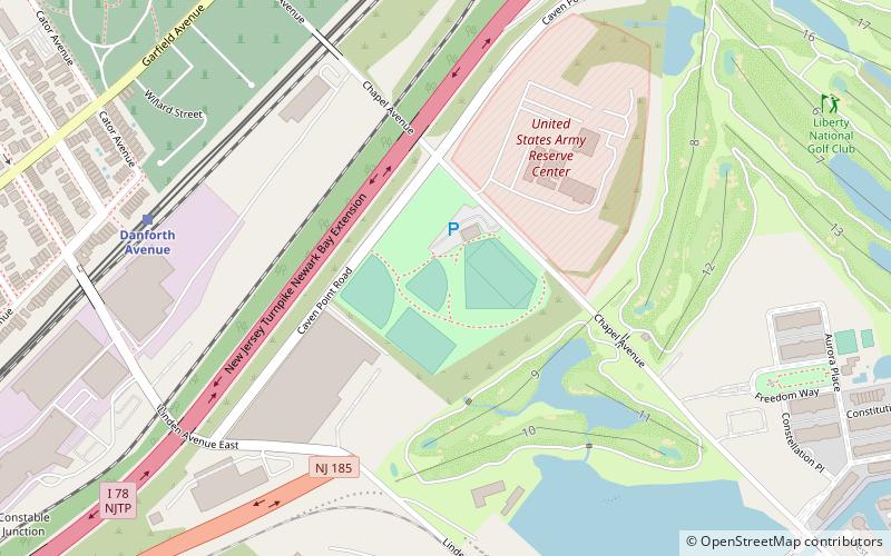
Map
Facts and practical information
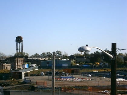
Cochrane Stadium is a 4,000-seat multi-purpose stadium in Jersey City, New Jersey. Opened in 1983, the stadium is located in the Ed "Faa" Ford Athletic Complex in the Caven Point area of Jersey City near Liberty State Park and Liberty National Golf Club. ()
Opened: 1983 (43 years ago)Capacity: 4000Coordinates: 40°41'30"N, 74°4'53"W
Address
Caven Point FieldsJersey City 07305
ContactAdd
Social media
Add
Day trips
Cochrane Field – popular in the area (distance from the attraction)
Nearby attractions include: Liberty National Golf Club, Bayview – New York Bay Cemetery, Afro-American Historical and Cultural Society Museum, Sacred Heart Church.
Frequently Asked Questions (FAQ)
Which popular attractions are close to Cochrane Field?
Nearby attractions include Danforth Avenue, Jersey City (8 min walk), Bayview – New York Bay Cemetery, Jersey City (10 min walk), Port Liberté, Jersey City (17 min walk), Curries Woods, Jersey City (20 min walk).
How to get to Cochrane Field by public transport?
The nearest stations to Cochrane Field:
Light rail
Bus
Light rail
- Danforth Avenue • Lines: Hblr (8 min walk)
- Richard Street • Lines: Hblr (15 min walk)
Bus
- JFK Boulevard at McAdoo Avenue • Lines: 10, 119 (24 min walk)
- Avenue C at 54th Street • Lines: 120 (30 min walk)


