Country Village, Jersey City
Map

Map

Facts and practical information
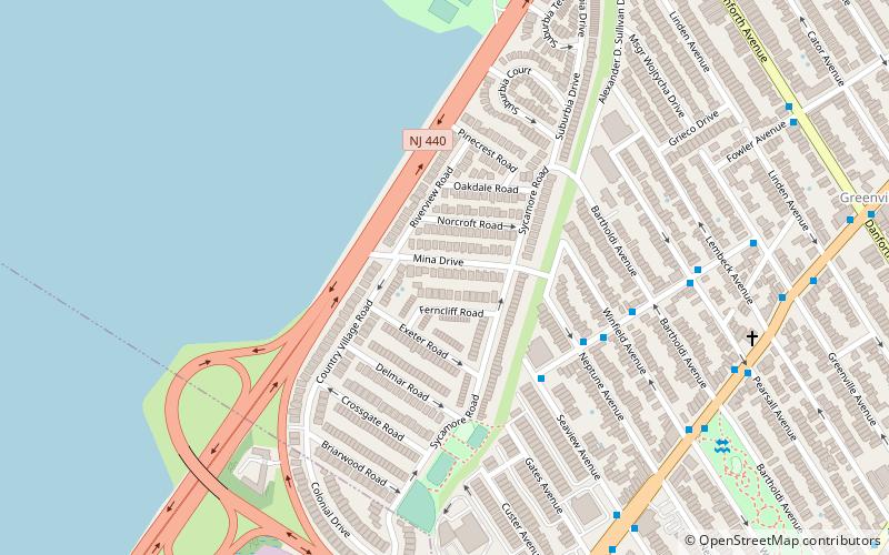
Country Village is a residential enclave in the southwestern corner of the Greenville section on the West Side of Jersey City, New Jersey that was built as planned community in the early 1960s. ()
Coordinates: 40°41'57"N, 74°6'9"W
Address
GreenvilleJersey City
ContactAdd
Social media
Add
Day trips
Country Village – popular in the area (distance from the attraction)
Nearby attractions include: St. Vincent de Paul Catholic Church, Bayview – New York Bay Cemetery, Droyer's Point, St. Mark Coptic Orthodox Church.
Frequently Asked Questions (FAQ)
Which popular attractions are close to Country Village?
Nearby attractions include Afro-American Historical and Cultural Society Museum, Jersey City (17 min walk), Curries Woods, Jersey City (21 min walk), Droyer's Point, Jersey City (22 min walk), Bayview – New York Bay Cemetery, Jersey City (22 min walk).
How to get to Country Village by public transport?
The nearest stations to Country Village:
Bus
Light rail
Bus
- JFK Boulevard at 63rd Street • Lines: 10, 119 (12 min walk)
- Society Hill • Lines: Ac30 (12 min walk)
Light rail
- Danforth Avenue • Lines: Hblr (24 min walk)
- West Side Avenue • Lines: Hblr (34 min walk)


