Widforss Trail, Grand Canyon National Park
Map

Map

Facts and practical information
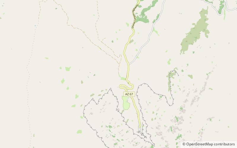
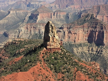
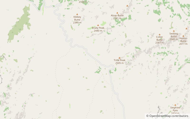
The Widforss Trail is a hiking trail located at the North Rim of the Grand Canyon National Park in the U.S. state of Arizona. The Widforss Trail runs from the North Rim Village through the forest to emerge at Widforss Point, a narrow, wooded promontory. ()
Length: 4.9 miMaximum elevation: 8380 ftMinimal elevation: 8080 ftCoordinates: 36°13'25"N, 112°3'54"W
Address
Grand Canyon National Park
ContactAdd
Social media
Add
Day trips
Widforss Trail – popular in the area (distance from the attraction)
Nearby attractions include: North Kaibab Trail, Mount Hayden, Bright Angel Point Trail, Hancock Butte.


