Mavericks Beach, Half Moon Bay
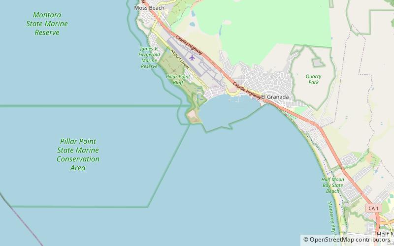
Map

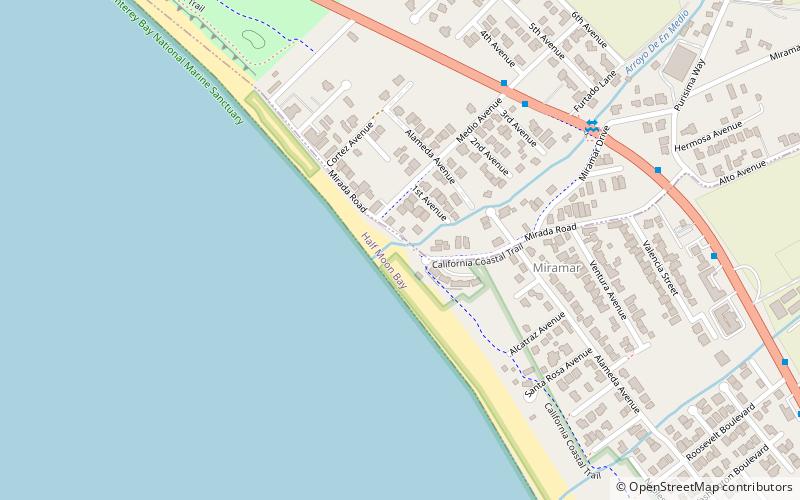
Map

Facts and practical information
Mavericks is a surfing location in northern California outside Pillar Point Harbor, just north of the town of Half Moon Bay at the village of Princeton-by-the-Sea. After a strong winter storm in the northern Pacific Ocean, waves can routinely crest at over 25 ft and top out at over 60 ft. Routinely, waves that break can be recorded on seismometers. The break is caused by an unusually shaped underwater rock formation. ()
Day trips
Mavericks Beach – popular in the area (distance from the attraction)
Nearby attractions include: Fitzgerald Marine Reserve, Point Montara Light, Coastal Arts League, Half Moon Bay State Beach.
Frequently Asked Questions (FAQ)
How to get to Mavericks Beach by public transport?
The nearest stations to Mavericks Beach:
Bus
Bus
- Airport Street & Harvard Avenue • Lines: 17 (17 min walk)
- Prospect Way & Capistrano Road • Lines: 17 (22 min walk)


