Keyes Gap, Harpers Ferry
Map
Facts and practical information
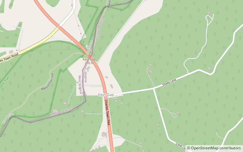
Keyes Gap or Keyes' Gap is a wind gap in the Blue Ridge Mountain on the border of Loudoun County, Virginia and Jefferson County, West Virginia. The gap is traversed by Virginia State Route 9/West Virginia Route 9. The Appalachian Trail also crosses the gap. ()
Maximum elevation: 906 ftCoordinates: 39°15'36"N, 77°45'36"W
Address
Harpers Ferry
ContactAdd
Social media
Add
Day trips


