Fenway, Boston
Facts and practical information
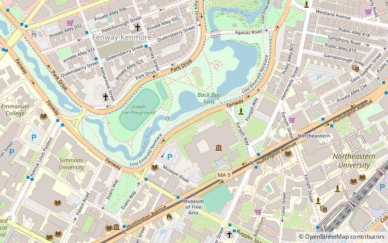
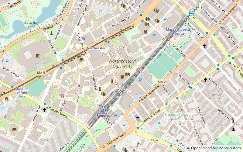
Fenway, commonly referred to as The Fenway, is a mostly one-way, one- to three-lane parkway that runs along the southern and eastern edges of the Back Bay Fens in the Fenway–Kenmore neighborhood of Boston, in the east-central part of the U.S. state of Massachusetts. As part of the Emerald Necklace park system mainly designed by Frederick Law Olmsted in the late 19th century, the Fenway, along with the Back Bay Fens and Park Drive, connects the Commonwealth Avenue Mall to the Riverway. For its entire length, the parkway travels along the Muddy River and is part of the Metropolitan Park System of Greater Boston. Like others in the park system, it is maintained by the Massachusetts Department of Conservation and Recreation. ()
Fenway - Kenmore - Audubon Circle - LongwoodBoston
- Metro
- Bus
- Light rail
- Train
 Metro
Metro
- Calculate routeMuseum of Fine Arts 5 min walk
- Calculate routeNortheastern 7 min walk
- Calculate routeLongwood Medical Area 10 min walk
- Calculate routeSymphony 14 min walk
- Calculate routeQueensberry St @ Jersey St 6 min walk
- Calculate routeRuggles St @ Huntington Ave 6 min walk
- Calculate routeKilmarnock St @ Queensberry St 7 min walk
- Calculate routeRuggles 10 min walk
- Calculate routeMassachusetts Avenue 15 min walk
- Calculate routeRoxbury Crossing 17 min walk
- Calculate routeBack Bay 30 min walk
- Calculate routeRuggles 10 min walk
- Calculate routeLansdowne 15 min walk
- Calculate routeBoston Back Bay 29 min walk
 MBTA Subway
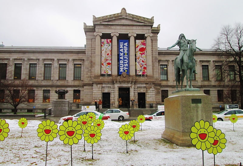


Frequently Asked Questions (FAQ)
Which popular attractions are close to Fenway?
How to get to Fenway by public transport?
Light rail
- Museum of Fine Arts • Lines: E (5 min walk)
- Northeastern • Lines: E (7 min walk)
Bus
- Queensberry St @ Jersey St • Lines: 55 (6 min walk)
- Ruggles St @ Huntington Ave • Lines: 8 (6 min walk)
Metro
- Ruggles • Lines: Orange (10 min walk)
- Massachusetts Avenue • Lines: Orange (15 min walk)
Train
- Ruggles (10 min walk)
- Lansdowne (15 min walk)