John Stewart Houses, Philadelphia
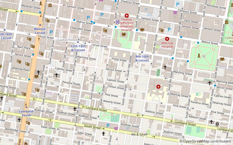
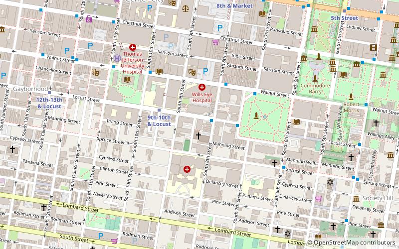
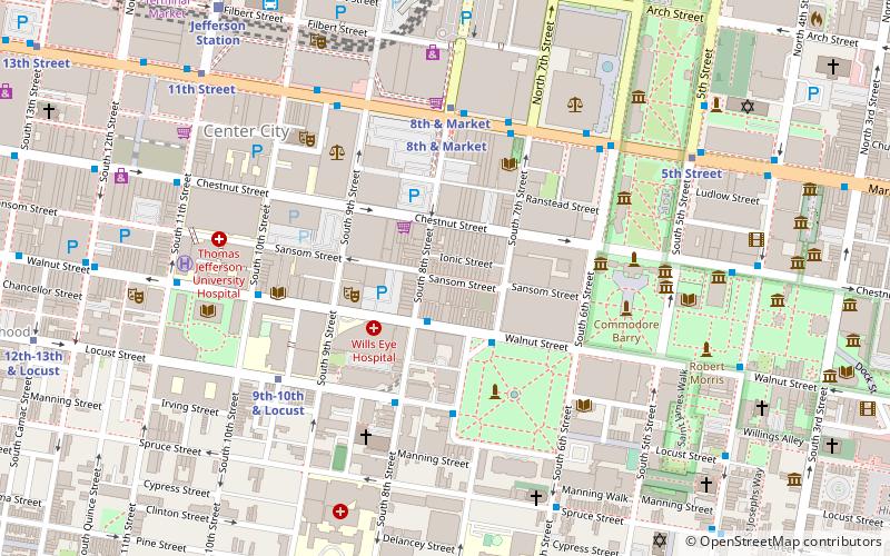
Map

Map

Facts and practical information
The John Stewart Houses are a set of five rowhouses in Center City, Philadelphia, Pennsylvania. They were all built from 1870 to 1874 using the same Italianate design by Philadelphia architect John Stewart. They were listed on the National Register of Historic Places on November 20, 1979. ()
Architectural style: Renaissance revivalCoordinates: 39°56'46"N, 75°9'32"W
Address
Center City (Washington Square West)Philadelphia
ContactAdd
Social media
Add
Day trips
John Stewart Houses – popular in the area (distance from the attraction)
Nearby attractions include: Philadelphia's Magic Gardens, Mikveh Israel Cemetery, Musical Fund Hall, Walnut Street Theatre.
Frequently Asked Questions (FAQ)
Which popular attractions are close to John Stewart Houses?
Nearby attractions include Wilson Eyre House, Philadelphia (1 min walk), Portico Row, Philadelphia (2 min walk), Roberts-Quay House, Philadelphia (2 min walk), Clinton Street Historic District, Philadelphia (2 min walk).
How to get to John Stewart Houses by public transport?
The nearest stations to John Stewart Houses:
Metro
Bus
Train
Tram
Metro
- 9th-10th & Locust • Lines: Patco (4 min walk)
- 12th-13th & Locust • Lines: Patco (5 min walk)
Bus
- Locust St & 8th St • Lines: 12, 47 (6 min walk)
- Washington Sq & Locust St • Lines: 12, 47 (8 min walk)
Train
- Jefferson Station (12 min walk)
- Suburban Station (19 min walk)
Tram
- 13th Street • Lines: 10, 11, 13, 34, 36 (12 min walk)
- 15th Street • Lines: 10, 11, 13, 34, 36 (15 min walk)

 SEPTA Regional Rail


