Mafera Park, New York City
Map
Facts and practical information
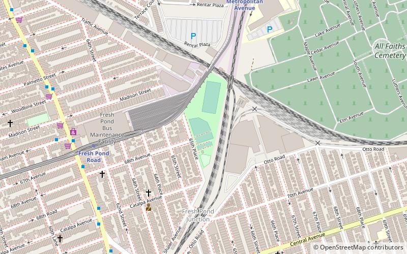
Mafera Park is a park in Queens, New York City, United States. It is approximately 5.4 acres in size, located adjacent to the New York City Subway's Fresh Pond Yard and close to the Fresh Pond Junction between the Long Island Rail Road's Bay Ridge and Lower Montauk branches. It has facilities for baseball, basketball, roller hockey, and handball. ()
Coordinates: 40°42'25"N, 73°53'29"W
Address
Northwestern Queens (Ridgewood)New York City
ContactAdd
Social media
Add
Getting there by public transportation
Public transportation stops near this location
- Metro
- Bus
 Metro
Metro
- Calculate routeFresh Pond Road 7 min walk
- Calculate routeMiddle Village–Metropolitan Avenue 10 min walk
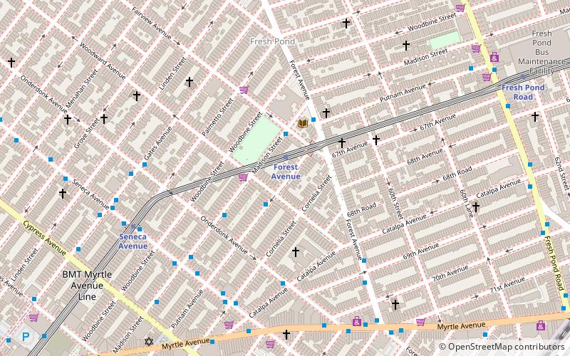
- Calculate routeForest Avenue 17 min walk
- Calculate routePutnam Avenue & Fresh Pond Road 9 min walk
- Calculate routeFresh Pond Road & Gates Avenue 11 min walk
Maps SubwayMaps
 Manhattan Buses
SubwayMapsManhattan BusesDay trips


Frequently Asked Questions (FAQ)
Which popular attractions are close to Mafera Park?
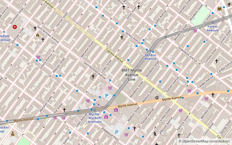
Nearby attractions include All Faiths Cemetery, New York City (11 min walk), Myrtle Avenue, New York City (17 min walk), St. Matthias Roman Catholic Church, New York City (18 min walk), Ridgewood, New York City (19 min walk).
How to get to Mafera Park by public transport?
The nearest stations to Mafera Park:
Metro
Bus
Metro
- Fresh Pond Road • Lines: M (7 min walk)
- Middle Village–Metropolitan Avenue • Lines: M (10 min walk)
Bus
- Putnam Avenue & Fresh Pond Road • Lines: Q58 (9 min walk)
- Fresh Pond Road & Gates Avenue • Lines: Q58 (11 min walk)