Maria Hernandez Park, Sea Gate
Map
Gallery
Facts and practical information
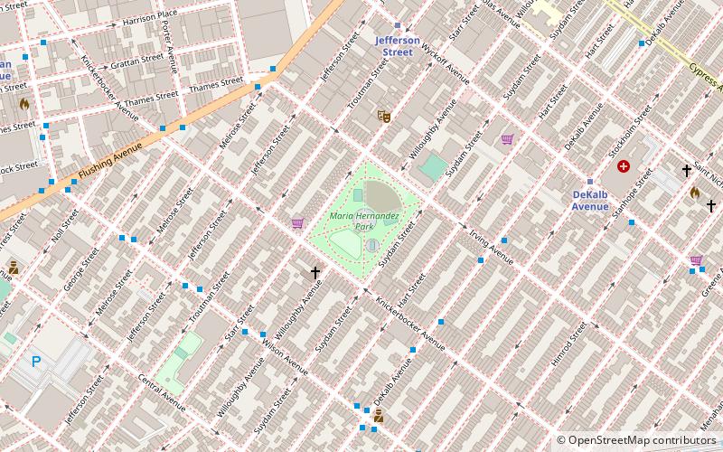
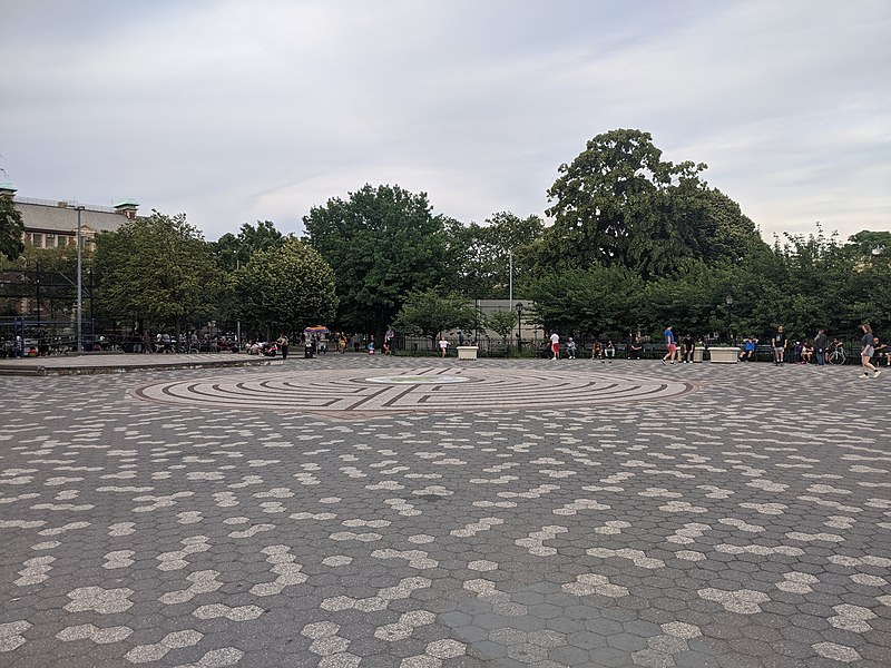
Maria Hernandez Park is a municipal park in Bushwick, Brooklyn, New York City. It is located between Knickerbocker Avenue on the southwest to Irving Avenue on the northeast, and Starr Street on the northwest to Suydam Street on the southeast. The park is 6.87 acres and is near the Jefferson Street station of the New York City Subway. ()
Elevation: 36 ft a.s.l.Coordinates: 40°42'11"N, 73°55'26"W
Address
Northern Brooklyn (Bushwick)Sea Gate
ContactAdd
Social media
Add
Day trips
Maria Hernandez Park – popular in the area (distance from the attraction)
Nearby attractions include: Martinez Playground, St. Matthias Roman Catholic Church, Grand Street Bridge, St. Mary & St. Antonios Coptic Orthodox Church.
Frequently Asked Questions (FAQ)
Which popular attractions are close to Maria Hernandez Park?
Nearby attractions include Microscope Gallery, New York City (7 min walk), Flushing Avenue, New York City (14 min walk), Vander Ende–Onderdonk House, New York City (16 min walk), South Bushwick Reformed Church, New York City (16 min walk).
How to get to Maria Hernandez Park by public transport?
The nearest stations to Maria Hernandez Park:
Metro
Bus
Metro
- Jefferson Street • Lines: L (7 min walk)
- DeKalb Avenue • Lines: L (9 min walk)
Bus
- Putnam Avenue & Wyckoff Avenue • Lines: Q58 (22 min walk)
- Madison Street & Oneronk Avenue • Lines: Q58 (26 min walk)


