Grand Street Bridge, New York City
Map

Map

Facts and practical information
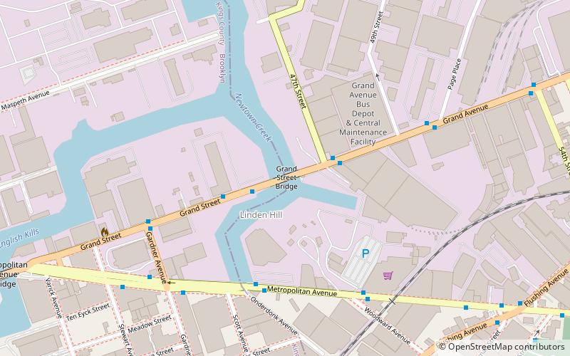
Grand Street Bridge is a through-truss swing bridge over Newtown Creek in New York City. The current crossing was completed in 1902, and links Grand Street and Grand Avenue via a two-lane, height-restricted roadway. It is a main connection between the boroughs of Brooklyn and Queens, carrying an average of 10,200 vehicles per day. ()
Coordinates: 40°42'59"N, 73°55'22"W
Address
Northwestern Queens (Maspeth)New York City
ContactAdd
Social media
Add
Day trips
Grand Street Bridge – popular in the area (distance from the attraction)
Nearby attractions include: Martinez Playground, Kosciuszko Bridge, Maria Hernandez Park, Greenpoint Avenue Bridge.
Frequently Asked Questions (FAQ)
Which popular attractions are close to Grand Street Bridge?
Nearby attractions include Grand Street and Grand Avenue, New York City (2 min walk), Metropolitan Avenue, New York City (7 min walk), Boroughs of New York City, New York City (7 min walk), Vander Ende–Onderdonk House, New York City (11 min walk).
How to get to Grand Street Bridge by public transport?
The nearest stations to Grand Street Bridge:
Metro
Bus
Metro
- Jefferson Street • Lines: L (18 min walk)
- DeKalb Avenue • Lines: L (22 min walk)
Bus
- Fresh Pond Road & 59th Avenue • Lines: Q58 (28 min walk)

 Subway
 Manhattan Buses


