Portland State Office Building, Portland
Map

Map

Facts and practical information
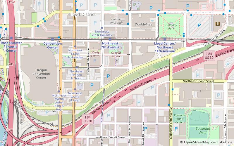
The Portland State Office Building is a government building located at 800 Northeast Oregon Street in Portland, Oregon's Lloyd District, in the United States. It houses the Oregon Bureau of Labor and Industries. ()
Coordinates: 45°31'42"N, 122°39'27"W
Address
800 Northeast Oregon StreetLloyd DistrictPortland
ContactAdd
Social media
Add
Day trips
Portland State Office Building – popular in the area (distance from the attraction)
Nearby attractions include: Holocene, CC Slaughters, Lloyd Center, Moda Center.
Frequently Asked Questions (FAQ)
Which popular attractions are close to Portland State Office Building?
Nearby attractions include Blumenauer Bridge, Portland (4 min walk), Hassalo on Eighth, Portland (5 min walk), Kaiser Permanente Building, Portland (6 min walk), Holladay Park, Portland (7 min walk).
How to get to Portland State Office Building by public transport?
The nearest stations to Portland State Office Building:
Light rail
Tram
Bus
Train
Light rail
- Northeast 7th Avenue • Lines: Blue, Green, Red (4 min walk)
- Lloyd Center/Northeast 11th Avenue • Lines: Blue, Green, Red (6 min walk)
Tram
- Northeast Oregon & Grand • Lines: A (4 min walk)
- Northeast Grand & Hoyt • Lines: B (5 min walk)
Bus
- Northeast 9th & Hassalo • Lines: 70 (5 min walk)
- Northeast 11th & Holladay • Lines: 157, 70 (5 min walk)
Train
- Portland Union Station (25 min walk)


