Peter Fuller Building, Boston
Map
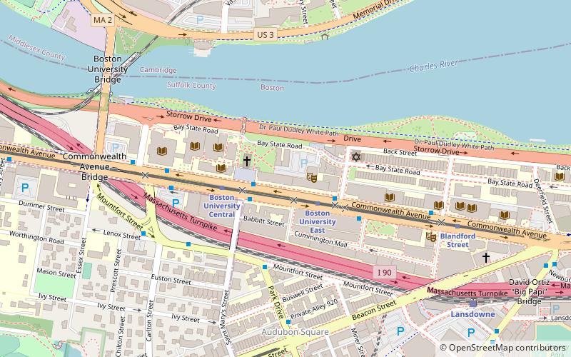
Map

Facts and practical information
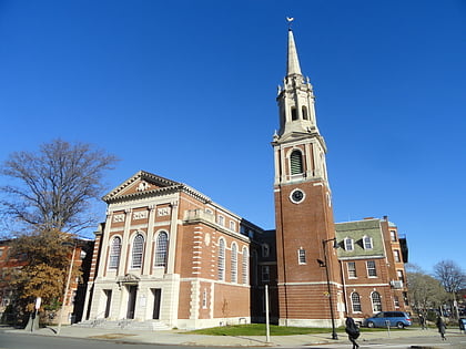
The Peter Fuller Building is a historic commercial building located at 808 Commonwealth Avenue in Brookline, Massachusetts. ()
Coordinates: 42°21'1"N, 71°6'19"W
Address
Fenway - Kenmore - Audubon Circle - LongwoodBoston
ContactAdd
Social media
Add
Day trips
Peter Fuller Building – popular in the area (distance from the attraction)
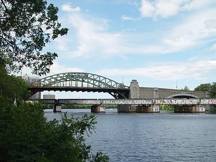
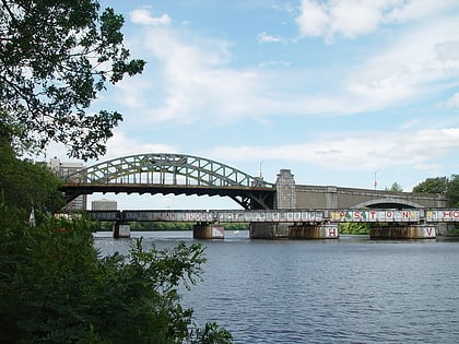
Nearby attractions include: Fenway Park, Cask 'n Flagon, Agganis Arena, Boston University Bridge.
Frequently Asked Questions (FAQ)
Which popular attractions are close to Peter Fuller Building?
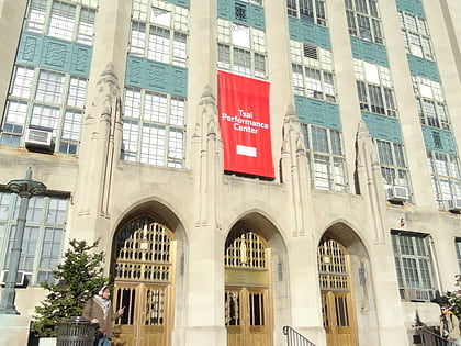
Nearby attractions include Judson B. Coit Observatory, Boston (1 min walk), Tsai Performance Center, Boston (2 min walk), Marsh Chapel, Boston (2 min walk), Warren Towers, Boston (3 min walk).
How to get to Peter Fuller Building by public transport?
The nearest stations to Peter Fuller Building:
Bus
Light rail
Train
Metro
Bus
- Commonwealth Ave @ St Marys St • Lines: 57 (2 min walk)
- Park Dr @ Mountfort St • Lines: 47 (4 min walk)
Light rail
- Boston University East • Lines: B (2 min walk)
- Blandford Street • Lines: B (8 min walk)
Train
- Lansdowne (9 min walk)
- Ruggles (32 min walk)
Metro
- Central Square • Lines: Red (27 min walk)
- Ruggles • Lines: Orange (32 min walk)

 MBTA Subway