Bridge Plaza, Sea Gate
Map
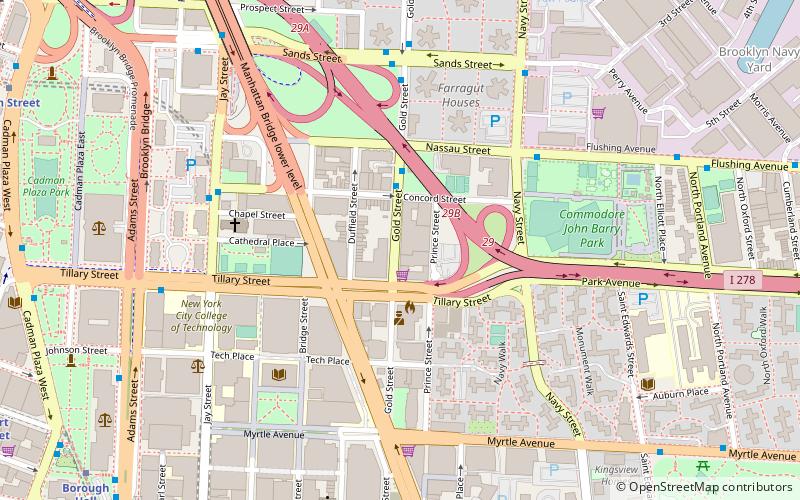
Map

Facts and practical information
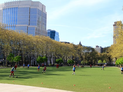
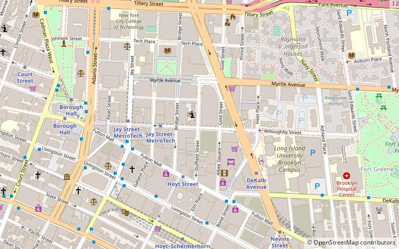
Bridge Plaza is the northeastern corner of the downtown area of the New York City borough of Brooklyn. Its borders are Flatbush Avenue Extension and Manhattan Bridge on the west, Tillary Street on the south, and the Brooklyn-Queens Expressway on the north and east. ()
Address
Northwestern Brooklyn (Downtown Brooklyn)Sea Gate
ContactAdd
Social media
Add
Day trips
Bridge Plaza – popular in the area (distance from the attraction)
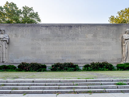
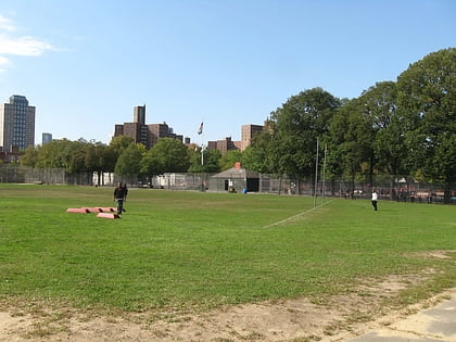
Nearby attractions include: Cadman Plaza, Quarters A, Korean War Veterans Plaza, Golconda Playground.
Frequently Asked Questions (FAQ)
Which popular attractions are close to Bridge Plaza?
Nearby attractions include Golconda Playground, Sea Gate (3 min walk), Wunsch Building, Sea Gate (5 min walk), Cathedral Basilica of St. James, New York City (5 min walk), Commodore Barry Park, Sea Gate (6 min walk).
How to get to Bridge Plaza by public transport?
The nearest stations to Bridge Plaza:
Bus
Metro
Train
Ferry
Bus
- Flushing Avenue & Navy Street • Lines: B57, B69 (5 min walk)
- Gold Street & Sands Street • Lines: B62 (6 min walk)
Metro
- Jay Street–MetroTech • Lines: <F>, A, C, F, N, R (9 min walk)
- York Street • Lines: <F>, F (11 min walk)
Train
- Atlantic Terminal (23 min walk)
Ferry
- Pier 11/Wall Street Terminal (32 min walk)

