F. Q. Story Neighborhood Historic District, Phoenix
Map
Facts and practical information
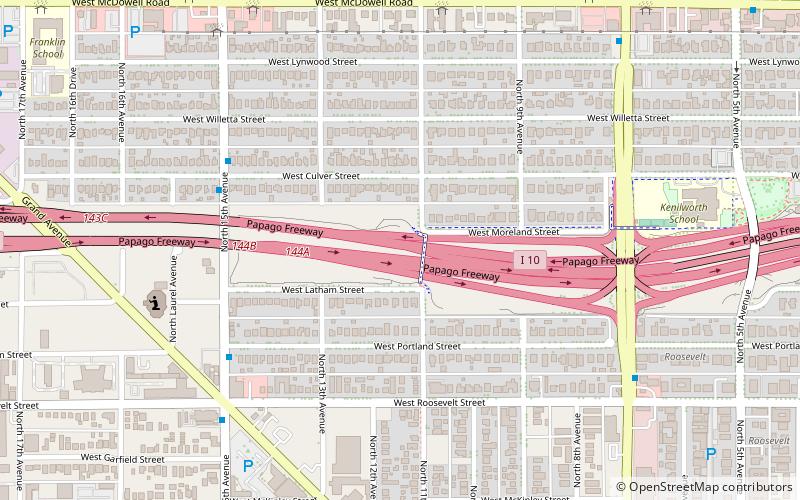
The F. Q. Story Neighborhood Historic District is located in central Phoenix, Arizona, United States. The neighborhood runs from McDowell Road south to Roosevelt Street and from Seventh Avenue west to Grand Avenue. The neighborhood as well as many of the individual houses are listed on the National Register of Historic Places. ()
Coordinates: 33°27'41"N, 112°5'15"W
Address
Central City (Story)Phoenix
ContactAdd
Social media
Add
Getting there by public transportation
Public transportation stops near this location
- Bus
 Bus
Bus
- Calculate route10338 18 min walk
- Calculate route16871 25 min walk
Day trips
F. Q. Story Neighborhood Historic District – popular in the area (distance from the attraction)
Nearby attractions include: Enchanted Island Amusement Park, Arizona Federal Theatre, Phoenix Art Museum, Arizona State Capitol.


Frequently Asked Questions (FAQ)
Which popular attractions are close to F. Q. Story Neighborhood Historic District?
Nearby attractions include Trunk Space, Phoenix (8 min walk), Great Arizona Puppet Theater, Phoenix (14 min walk), Japanese Friendship Garden of Phoenix, Phoenix (17 min walk), Pioneer and Military Memorial Park, Phoenix (18 min walk).
How to get to F. Q. Story Neighborhood Historic District by public transport?
The nearest stations to F. Q. Story Neighborhood Historic District:
Bus
Bus
- 10338 • Lines: 3 Eb (18 min walk)
- 16871 • Lines: 571 Ib, Gal Wb, I-17 Ob (25 min walk)