Feltonville, Philadelphia
Map

Map

Facts and practical information
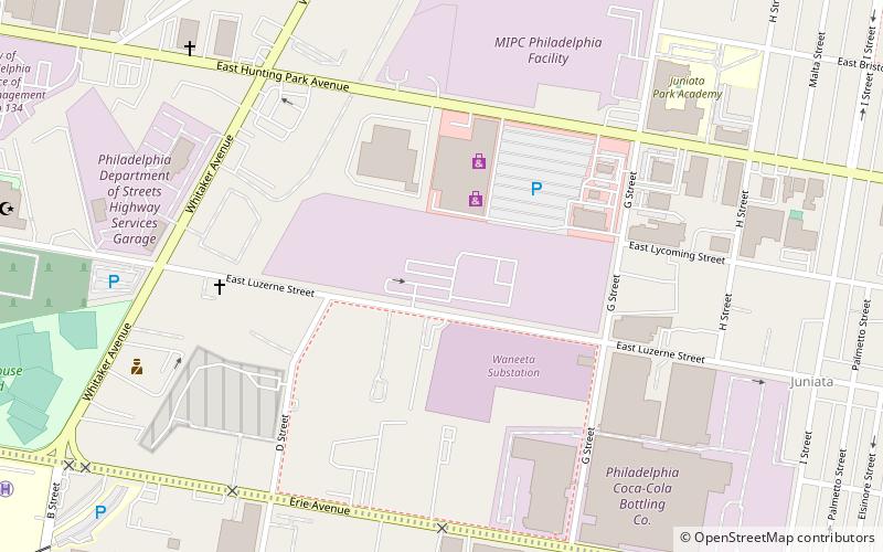
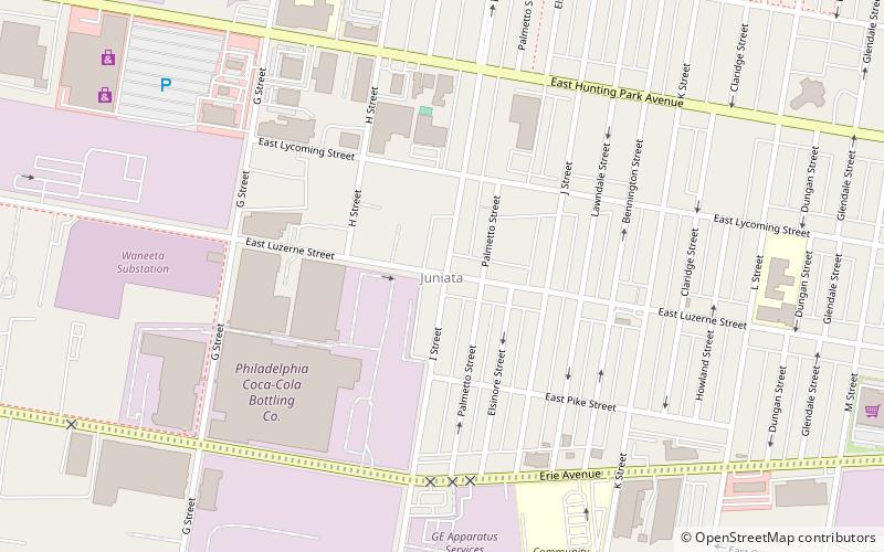
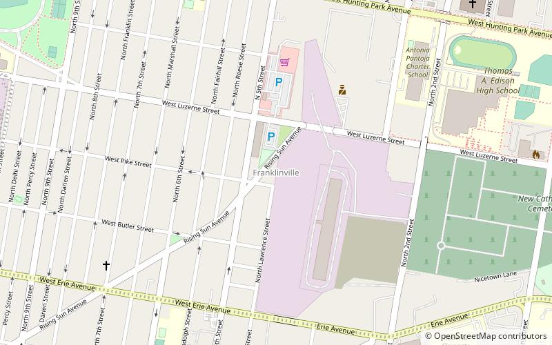
Feltonville is a working-class neighborhood in North Philadelphia. It is located east of Logan and Hunting Park, west of Lawncrest and Juniata, south of Olney, and north of Fairhill and Harrowgate. Feltonville is bounded by Erie Avenue to the south, Front Street to the west, Roosevelt Boulevard to the north, Tacony Creek to the northeast, and G Street to the east. ()
Coordinates: 40°0'36"N, 75°6'58"W
Address
Upper North Philadelphia (Hunting Park)Philadelphia
ContactAdd
Social media
Add
Day trips
Feltonville – popular in the area (distance from the attraction)
Nearby attractions include: Fisher's Lane Bridge, Greenwood Cemetery, Kensington Branch of the Philadelphia YWCA, Philip H. Sheridan School.
Frequently Asked Questions (FAQ)
Which popular attractions are close to Feltonville?
Nearby attractions include Juniata, Philadelphia (11 min walk), Philip H. Sheridan School, Philadelphia (19 min walk), Hunting Park, Philadelphia (20 min walk).
How to get to Feltonville by public transport?
The nearest stations to Feltonville:
Metro
Metro
- Tioga • Lines: Mfl (22 min walk)
- Allegheny • Lines: Mfl (25 min walk)

 SEPTA Regional Rail


