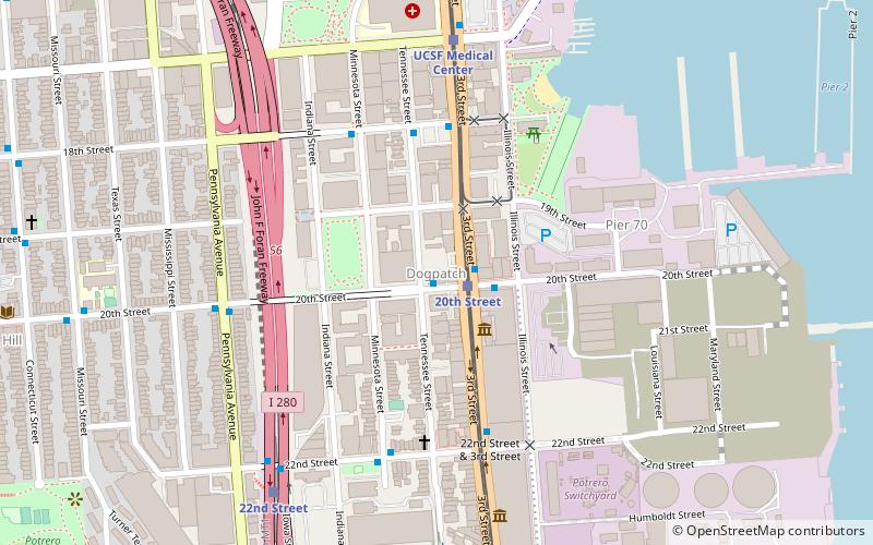
Dogpatch, San Francisco
Map
Facts and practical information
Dogpatch is a neighborhood in San Francisco, California, roughly half industrial and half residential. It was initially a working-class neighborhood, but has experienced rapid gentrification since the 1990s. Now it boasts similar demographics to its western neighbor Potrero Hill – an upper middle-class working professional neighborhood. ()
Area: 141.44 acres (0.221 mi²)Coordinates: 37°45'39"N, 122°23'21"W
Address
Southeast San Francisco (Dogpatch)San Francisco
ContactAdd
Social media
Add
Getting there by public transportation
Public transportation stops near this location
- Bus
- Trolleybus
- Light rail
- Train
 Bus
Bus
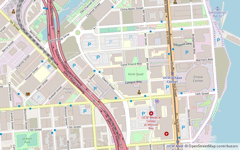
- Calculate route20th Street & 3rd Street 1 min walk
- Calculate route3rd Street & 20th Street 1 min walk
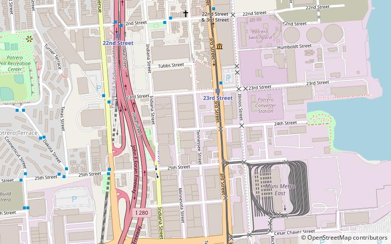
- Calculate route22nd Street & 3rd Street 5 min walk
- Calculate route20th Street 1 min walk
- Calculate routeUCSF Medical Center 7 min walk
- Calculate route23rd Street 10 min walk
- Calculate routeUCSF/Chase Center 14 min walk
- Calculate route22nd Street 8 min walk
- Calculate routeSan Francisco 4th & King Street 29 min walk
- Calculate route16th Street & 4th Street 12 min walk
- Calculate route3rd Street & Gene Friend Way 16 min walk
Maps Muni Metro
Muni MetroDay trips


Frequently Asked Questions (FAQ)
Which popular attractions are close to Dogpatch?
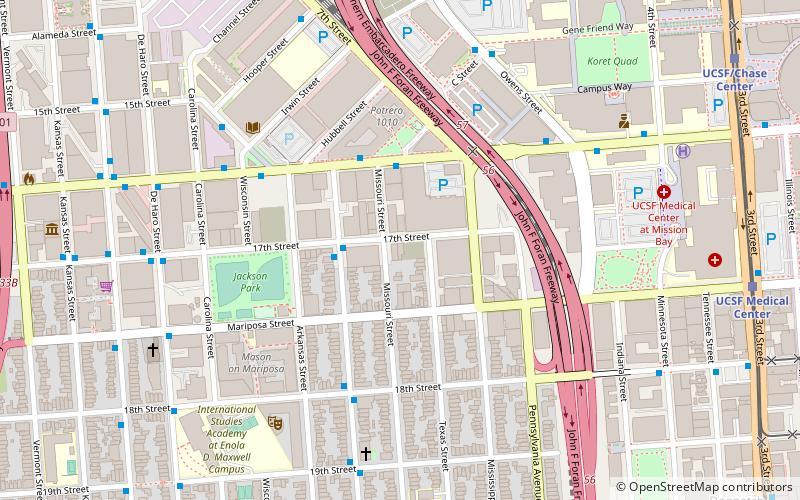
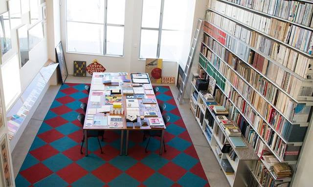
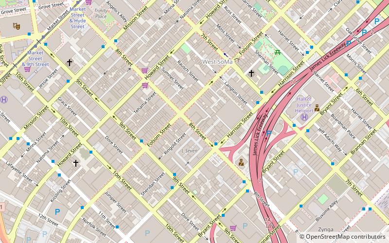
Nearby attractions include Letterform Archive, San Francisco (9 min walk), Anglim Gilbert Gallery, San Francisco (12 min walk), Bottom of the Hill, San Francisco (13 min walk), Potrero Hill Recreation Center, San Francisco (14 min walk).
How to get to Dogpatch by public transport?
The nearest stations to Dogpatch:
Bus
Light rail
Train
Trolleybus
Bus
- 20th Street & 3rd Street • Lines: 48, 55 (1 min walk)
- 3rd Street & 20th Street • Lines: 15, 91, Tbus (1 min walk)
Light rail
- 20th Street • Lines: T (1 min walk)
- UCSF Medical Center • Lines: T (7 min walk)
Train
- 22nd Street (8 min walk)
- San Francisco 4th & King Street (29 min walk)
Trolleybus
- 16th Street & 4th Street • Lines: 22 (12 min walk)
- 3rd Street & Gene Friend Way • Lines: 22 (16 min walk)