Springfield Public School, Pittsburgh
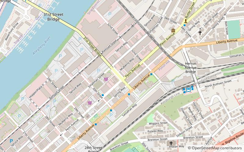
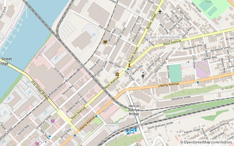
Map

Map

Facts and practical information
The Springfield Public School located in the Strip District neighborhood of Pittsburgh, Pennsylvania, was built in 1872 and closed in 1934. After closing it served as a warehouse. The building was listed on the National Register of Historic Places in 1986. ()
Architectural style: Renaissance revivalCoordinates: 40°27'36"N, 79°58'17"W
Address
Central Pittsburgh (Strip District)Pittsburgh
ContactAdd
Social media
Add
Day trips
Springfield Public School – popular in the area (distance from the attraction)
Nearby attractions include: Immaculate Heart of Mary Church, 33rd Street Railroad Bridge, The Doughboy, Saint Anthony Chapel.
Frequently Asked Questions (FAQ)
Which popular attractions are close to Springfield Public School?
Nearby attractions include Pittsburgh Ballet Theatre, Pittsburgh (6 min walk), The Clemente Museum, Pittsburgh (7 min walk), 31st Street Bridge, Pittsburgh (8 min walk), Immaculate Heart of Mary Church, Pittsburgh (8 min walk).
How to get to Springfield Public School by public transport?
The nearest stations to Springfield Public School:
Bus
Train
Bus
- Herron Station (7 min walk)
- 31st Street Bridge Ramp at 31st St Bridge • Lines: 1, 2 (14 min walk)
Train
- Pittsburgh Union Station (39 min walk)


