Chartiers, Pittsburgh
Map
Facts and practical information
Chartiers is a neighborhood in Pittsburgh, Pennsylvania's West End. It has a zip code of 15204, and has representation on Pittsburgh City Council by the council member for District 2. The neighborhood was named after Peter Chartier, a trapper of French and Native American parentage who established a trading post at the mouth of Chartiers Creek in 1743. ()
Area: 84.48 acres (0.132 mi²)Coordinates: 40°27'50"N, 80°3'22"W
Address
West End (Esplen)Pittsburgh
ContactAdd
Social media
Add
Getting there by public transportation
Public transportation stops near this location
- Bus
 Bus
Bus
- Calculate routeSheraden 21 min walk
- Calculate routeOhio River Blvd at McKees Rocks Bridge 32 min walk
Day trips


Frequently Asked Questions (FAQ)
Which popular attractions are close to Chartiers?
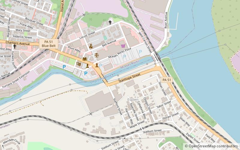
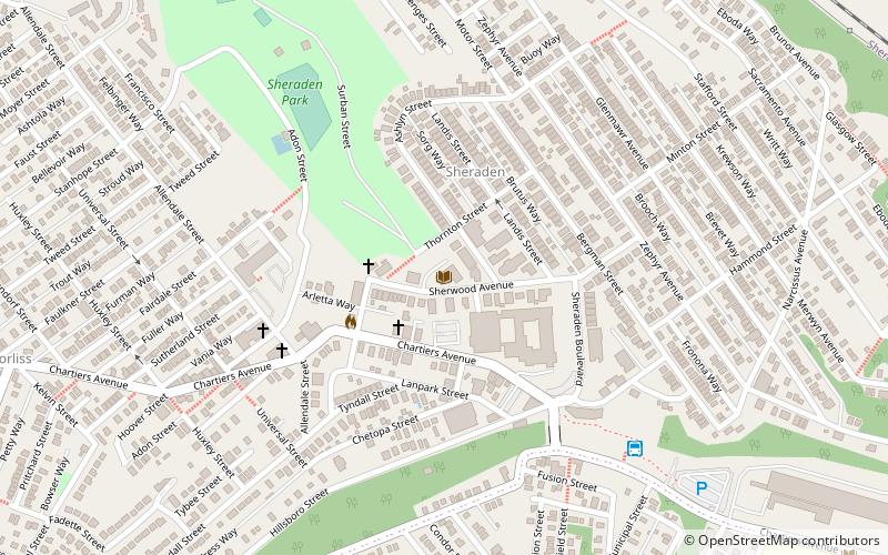
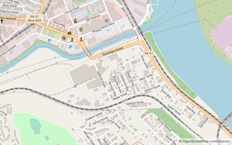
Nearby attractions include Esplen, Pittsburgh (3 min walk), FOR Sto-Rox Library, McKees Rocks (4 min walk), Sheraden, Pittsburgh (13 min walk), Sheraden Homestead, Pittsburgh (16 min walk).
How to get to Chartiers by public transport?
The nearest stations to Chartiers:
Bus
Bus
- Sheraden (21 min walk)
- Ohio River Blvd at McKees Rocks Bridge • Lines: 1 (32 min walk)